File:Долина среди холмов. Видимая на дальнем плане местность находится в 2-4 км на юг от сёл Мынзате - panoramio.jpg

Size of this preview: 799 × 217 pixels. Other resolutions: 320 × 87 pixels | 640 × 174 pixels | 1,024 × 278 pixels | 3,399 × 924 pixels.
Original file (3,399 × 924 pixels, file size: 797 KB, MIME type: image/jpeg)
Captions
Captions
Add a one-line explanation of what this file represents
Summary
edit
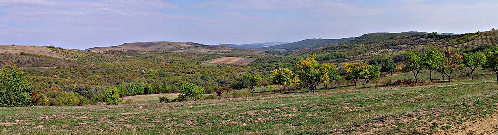
| Description | Долина среди холмов. Видимая на дальнем плане местность находится в 2-4 км на юг от сёл Мынзатешть, Хырчешть, Куртоайа, Кондратешть) | ||
| Date | Taken on 29 September 2012 | ||
| Source | https://web.archive.org/web/20161025095911/http://www.panoramio.com/photo/83696426 | ||
| Author | Анатолий Зубанюк | ||
| Permission (Reusing this file) |
This file is licensed under the Creative Commons Attribution 3.0 Unported license. Attribution: Анатолий Зубанюк
|
||
| Tags (from Panoramio photo page) | Ungheni District |
| Camera location | | View this and other nearby images on: OpenStreetMap |
|---|
File history
Click on a date/time to view the file as it appeared at that time.
| Date/Time | Thumbnail | Dimensions | User | Comment | |
|---|---|---|---|---|---|
| current | 05:41, 8 February 2017 | 3,399 × 924 (797 KB) | Panoramio upload bot (talk | contribs) | == {{int:filedesc}} == {{Information |description=Долина среди холмов. Видимая на дальнем плане местность находится в 2-4 км на юг от сёл Мынзатешть, Хырчешть, Кур... |
You cannot overwrite this file.
File usage on Commons
There are no pages that use this file.