File:Дорожка meža ceļš - panoramio.jpg

Size of this preview: 800 × 600 pixels. Other resolutions: 320 × 240 pixels | 640 × 480 pixels | 1,024 × 768 pixels | 1,280 × 960 pixels.
Original file (1,280 × 960 pixels, file size: 576 KB, MIME type: image/jpeg)
Captions
Captions
Add a one-line explanation of what this file represents
Summary
edit
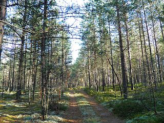
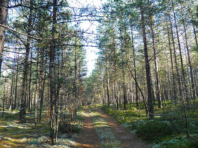
| Description |
Русский: дорожка Latviešu: meža ceļš |
||
| Date | Taken on 4 October 2010 | ||
| Source | https://web.archive.org/web/20161016202121/http://www.panoramio.com/photo/43228986 | ||
| Author | Aleksandrs Timofejev… | ||
| Permission (Reusing this file) |
This file is licensed under the Creative Commons Attribution 3.0 Unported license. Attribution: Aleksandrs Timofejev…
|
||
| Tags (from Panoramio photo page) | Daudzeses pagasts, bosque - forest, LV Menta |
| Camera location | | View this and other nearby images on: OpenStreetMap |
|---|
File history
Click on a date/time to view the file as it appeared at that time.
| Date/Time | Thumbnail | Dimensions | User | Comment | |
|---|---|---|---|---|---|
| current | 13:47, 16 November 2016 | | 1,280 × 960 (576 KB) | Panoramio upload bot (talk | contribs) | == {{int:filedesc}} == {{Information |description=дорожка | meža ceļš |date={{Taken on|2010-10-04}} |source=http://www.panoramio.com/photo/43228986 |author=[http://www.panoramio.com/user/4074187?with_photo_id=43228986 Aleksandrs Timofejev…]... |
You cannot overwrite this file.
File usage on Commons
There are no pages that use this file.