File:Замшелые поля Толбачика.jpg

Size of this preview: 800 × 533 pixels. Other resolutions: 320 × 213 pixels | 640 × 427 pixels | 1,024 × 682 pixels | 1,280 × 853 pixels | 2,000 × 1,333 pixels.
Original file (2,000 × 1,333 pixels, file size: 3.18 MB, MIME type: image/jpeg)
Captions
Captions
Add a one-line explanation of what this file represents
Summary edit
| Description |
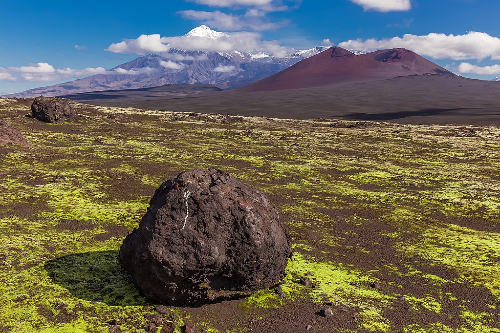
Русский: Северный и Южный прорывы Большого трещинного Толбачинского извержения 1975-1976 гг.: Северный прорыв - географические координаты - 55°41’14'‘с.ш.,160°14’38'‘в.д. Южный прорыв - географические координаты - 55°35’50'‘с.ш., 160°11°00'‘в.д, Мильковский район, Камчатский край
|
|||
| Date | Taken on 27 August 2014, 10:37:01 | |||
| Source | Own work | |||
| Author | Кирилл Уютнов |
Licensing edit
I, the copyright holder of this work, hereby publish it under the following license:
This file is licensed under the Creative Commons Attribution-Share Alike 4.0 International license.
- You are free:
- to share – to copy, distribute and transmit the work
- to remix – to adapt the work
- Under the following conditions:
- attribution – You must give appropriate credit, provide a link to the license, and indicate if changes were made. You may do so in any reasonable manner, but not in any way that suggests the licensor endorses you or your use.
- share alike – If you remix, transform, or build upon the material, you must distribute your contributions under the same or compatible license as the original.
This image was uploaded as part of Wiki Loves Earth 2018.
|
 |
File history
Click on a date/time to view the file as it appeared at that time.
| Date/Time | Thumbnail | Dimensions | User | Comment | |
|---|---|---|---|---|---|
| current | 20:15, 15 June 2018 | | 2,000 × 1,333 (3.18 MB) | Kirill.uyutnov (talk | contribs) | User created page with UploadWizard |
You cannot overwrite this file.
File usage on Commons
There are no pages that use this file.
File usage on other wikis
The following other wikis use this file:
- Usage on ru.wikimedia.org