File:Кедрач и спуск к Белоусово - panoramio.jpg
Size of this preview: 793 × 600 pixels. Other resolutions: 317 × 240 pixels | 635 × 480 pixels | 1,015 × 768 pixels | 1,280 × 968 pixels | 2,560 × 1,936 pixels | 3,272 × 2,475 pixels.
Original file (3,272 × 2,475 pixels, file size: 5.68 MB, MIME type: image/jpeg)
Captions
Captions
Add a one-line explanation of what this file represents
Summary
edit
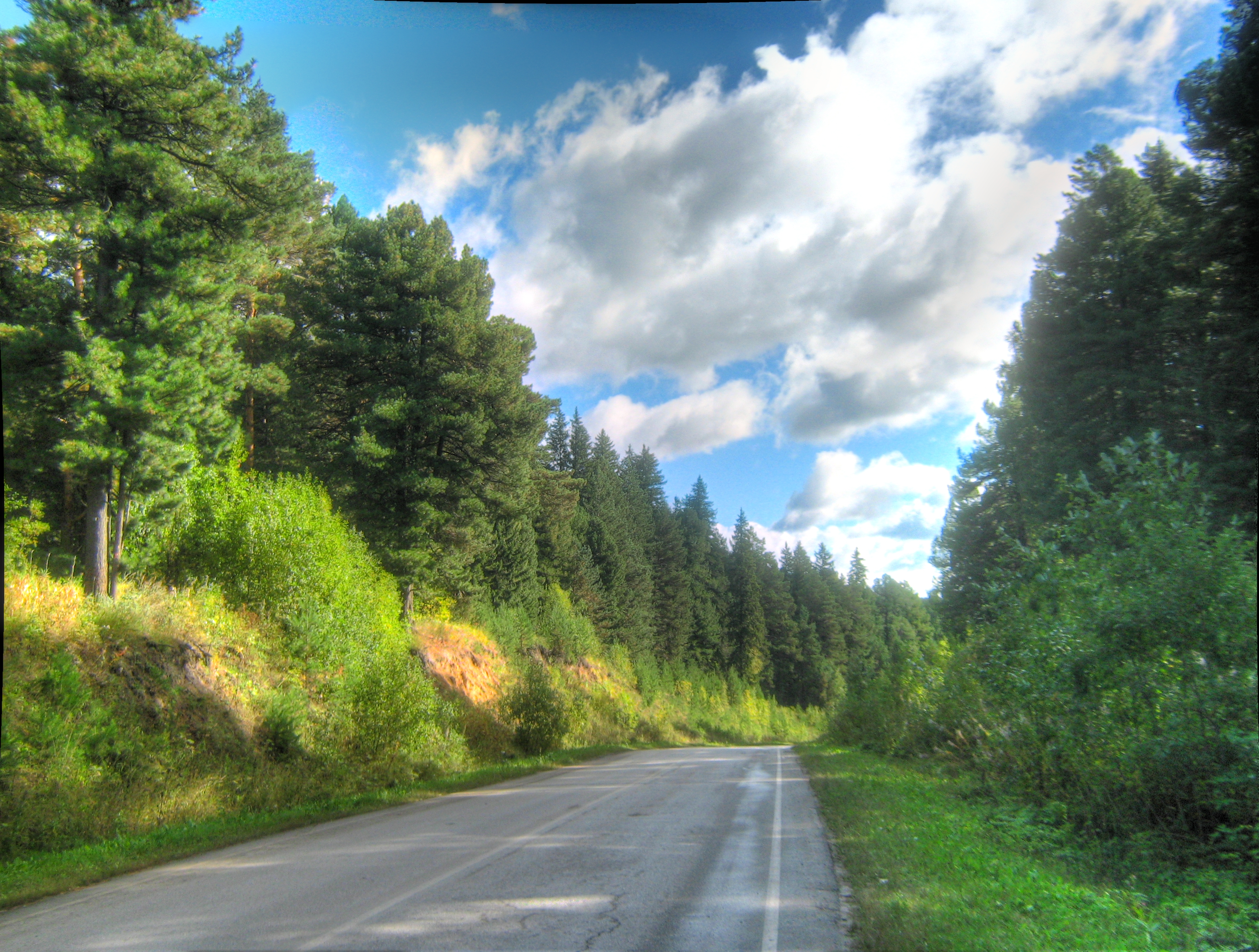
| Description | Кедрач и спуск к Белоусово | ||
| Date | 20 October 2013 (original upload date) | ||
| Source | https://web.archive.org/web/20161030073520/http://www.panoramio.com/photo/98043877 | ||
| Author | Figure | ||
| Permission (Reusing this file) |
This file is licensed under the Creative Commons Attribution-Share Alike 3.0 Unported license. Attribution: Figure
|
||
| Tags (from Panoramio photo page) | Tomsky District, HDR, Tomsky District |
| Camera location | | View this and other nearby images on: OpenStreetMap |
|---|
| This image is related to the protected area of Russia number 7010235 | |
| This template and pages using it are maintained by the Russian WLE team. Please read the guidelines before making any changes that can affect the database! |
File history
Click on a date/time to view the file as it appeared at that time.
| Date/Time | Thumbnail | Dimensions | User | Comment | |
|---|---|---|---|---|---|
| current | 23:59, 22 March 2017 | | 3,272 × 2,475 (5.68 MB) | Panoramio upload bot (talk | contribs) | == {{int:filedesc}} == {{Information |description=Кедрач и спуск к Белоусово |date={{Original upload date|2013-10-20}} |source=http://www.panoramio.com/photo/98043877 |author=[http://www.panoramio.com/user/1370106?with_photo_id=98... |
You cannot overwrite this file.
File usage on Commons
There are no pages that use this file.
File usage on other wikis
The following other wikis use this file:
- Usage on ru.wikivoyage.org