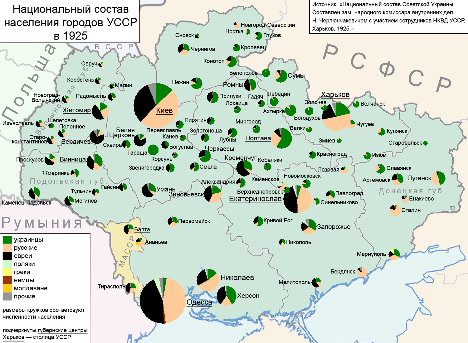
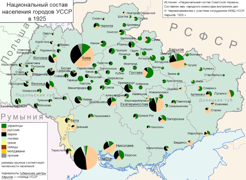
File:Национальный состав населения городов УССР в 1925.gif
Size of this preview: 800 × 587 pixels. Other resolutions: 320 × 235 pixels | 640 × 469 pixels | 1,024 × 751 pixels | 1,280 × 939 pixels | 1,500 × 1,100 pixels.
Original file (1,500 × 1,100 pixels, file size: 224 KB, MIME type: image/gif)
Captions
Captions
Add a one-line explanation of what this file represents

|
This map image could be re-created using vector graphics as an SVG file. This has several advantages; see Commons:Media for cleanup for more information. If an SVG form of this image is available, please upload it and afterwards replace this template with
{{vector version available|new image name}}.
It is recommended to name the SVG file “Национальный состав населения городов УССР в 1925.svg”—then the template Vector version available (or Vva) does not need the new image name parameter. |
Summary edit
| Description |
English: City population of Ukraine in 1925 |
| Date | |
| Source | Own work |
| Author | Artemka |
Licensing edit
I, the copyright holder of this work, hereby publish it under the following license:
| This file is made available under the Creative Commons CC0 1.0 Universal Public Domain Dedication. | |
| The person who associated a work with this deed has dedicated the work to the public domain by waiving all of their rights to the work worldwide under copyright law, including all related and neighboring rights, to the extent allowed by law. You can copy, modify, distribute and perform the work, even for commercial purposes, all without asking permission.
|
File history
Click on a date/time to view the file as it appeared at that time.
| Date/Time | Thumbnail | Dimensions | User | Comment | |
|---|---|---|---|---|---|
| current | 09:12, 20 August 2016 | | 1,500 × 1,100 (224 KB) | Nicolay Sidorov (talk | contribs) | ... |
| 21:41, 1 February 2015 |  | 1,500 × 1,100 (223 KB) | Nicolay Sidorov (talk | contribs) | восточная часть совр. Станично-Луганского района в составе РСФСР до 1926. Дарьино-Ермаковка и Кошары в составе РСФСР до 1945. | |
| 20:25, 13 March 2011 |  | 1,500 × 1,100 (225 KB) | Artemco (talk | contribs) | ГИФ потерял желтый цвет | |
| 20:14, 13 March 2011 |  | 1,500 × 1,100 (224 KB) | Artemco (talk | contribs) | {{Information |Description ={{en|1=см. название}} |Source ={{own}} |Author =Artemka |Date =2011-03-13 |Permission = |other_versions = }} Category:Images by Artemka [[Category:Maps of Ukraine |
You cannot overwrite this file.
File usage on Commons
The following page uses this file:
File usage on other wikis
The following other wikis use this file:
- Usage on ba.wikipedia.org
- Usage on bg.wikipedia.org
- Usage on cs.wikipedia.org
- Usage on ru.wikipedia.org
- Usage on te.wikipedia.org
- Usage on uk.wikipedia.org