File:Панорама от вр.Марагидик-долу,поляната в местността Турски рът, където според легендата, Кра - panoramio (1).jpg

Size of this preview: 800 × 451 pixels. Other resolutions: 320 × 180 pixels | 640 × 361 pixels | 1,024 × 577 pixels | 1,280 × 721 pixels | 2,560 × 1,443 pixels | 3,648 × 2,056 pixels.
Original file (3,648 × 2,056 pixels, file size: 3.76 MB, MIME type: image/jpeg)
Captions
Captions
Add a one-line explanation of what this file represents
Summary
edit.jpg&action=edit§ion=1)
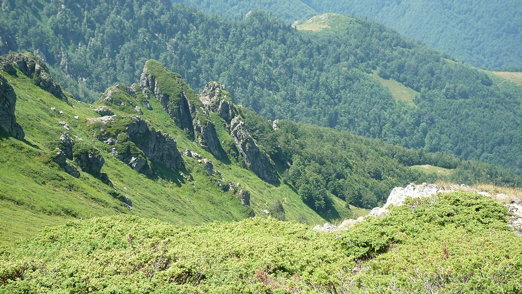
| Description | Панорама от вр.Марагидик-долу,поляната в местността Турски рът, където според легендата, Крали Марко е водил първата си битка с турците. | ||
| Date | Taken on 3 August 2013 | ||
| Source | https://web.archive.org/web/20161029225259/http://www.panoramio.com/photo/94774613 | ||
| Author | Красимир Косев | ||
| Permission (Reusing this file) |
This file is licensed under the Creative Commons Attribution 3.0 Unported license. Attribution: Красимир Косев
|
||
| Tags (from Panoramio photo page) | Apriltzi |
| Camera location | | View this and other nearby images on: OpenStreetMap |
|---|
.jpg¶ms=042.759323_N_0024.974563_E_globe:Earth_type:camera_source:Panoramio_&language=en)
File history
Click on a date/time to view the file as it appeared at that time.
| Date/Time | Thumbnail | Dimensions | User | Comment | |
|---|---|---|---|---|---|
| current | 14:30, 6 March 2017 | | 3,648 × 2,056 (3.76 MB) | Panoramio upload bot (talk | contribs) | == {{int:filedesc}} == {{Information |description=Панорама от вр.Марагидик-долу,поляната в местността Турски рът, където според легендата, Крали Марко е водил п... |
You cannot overwrite this file.
File usage on Commons
There are no pages that use this file.
.jpg&oldid=602275571)