File:Политическая карта России.png

Size of this preview: 685 × 599 pixels. Other resolutions: 274 × 240 pixels | 549 × 480 pixels | 878 × 768 pixels | 1,170 × 1,024 pixels | 2,000 × 1,750 pixels.
Original file (2,000 × 1,750 pixels, file size: 503 KB, MIME type: image/png)
Captions
Captions
Add a one-line explanation of what this file represents

|
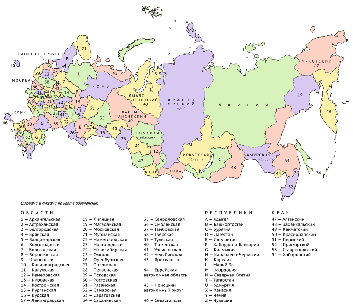
The boundaries on this map show the de facto situation. This is just one of several different views on the subject (see COM:NPOV). |
Summary
edit
| Description |
Русский: В основу карты была взята работа Map of federal subjects of Russia (2014).svg авторства User:Roman Poulvas. |
| Date | |
| Source | Own work |
| Author | Vlaskin |
.svg)
Licensing
edit
I, the copyright holder of this work, hereby publish it under the following license:
This file is licensed under the Creative Commons Attribution-Share Alike 4.0 International license.
- You are free:
- to share – to copy, distribute and transmit the work
- to remix – to adapt the work
- Under the following conditions:
- attribution – You must give appropriate credit, provide a link to the license, and indicate if changes were made. You may do so in any reasonable manner, but not in any way that suggests the licensor endorses you or your use.
- share alike – If you remix, transform, or build upon the material, you must distribute your contributions under the same or compatible license as the original.
File history
Click on a date/time to view the file as it appeared at that time.
| Date/Time | Thumbnail | Dimensions | User | Comment | |
|---|---|---|---|---|---|
| current | 10:21, 24 October 2019 | | 2,000 × 1,750 (503 KB) | Vlaskin (talk | contribs) | Исправлена ошибка в обозначении Омской и Новосибирской областей. |
| 14:16, 13 March 2016 |  | 2,000 × 1,750 (504 KB) | Vlaskin (talk | contribs) | Исправлена нумерация, убран белый фон. | |
| 21:35, 8 March 2016 |  | 2,000 × 1,750 (490 KB) | Vlaskin (talk | contribs) | User created page with UploadWizard |
You cannot overwrite this file.
File usage on Commons
There are no pages that use this file.
File usage on other wikis
The following other wikis use this file:
- Usage on ru.wikipedia.org