File:Полуостров Крым.png

Size of this preview: 800 × 522 pixels. Other resolutions: 320 × 209 pixels | 640 × 418 pixels | 1,024 × 668 pixels.
Original file (1,024 × 668 pixels, file size: 67 KB, MIME type: image/png)
Captions
Captions
Add a one-line explanation of what this file represents
Summary
edit
| Description |
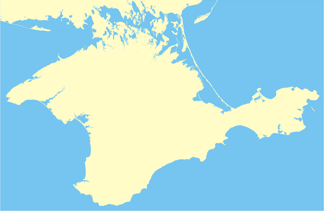
Русский: Контурная карта полуострова Крым |
| Source | Own work |
| Author | Властарь |
Licensing
edit
| |
This work has been released into the public domain by its author, Властарь, at the English Wikipedia project. This applies worldwide. In case this is not legally possible: |
File history
Click on a date/time to view the file as it appeared at that time.
| Date/Time | Thumbnail | Dimensions | User | Comment | |
|---|---|---|---|---|---|
| current | 22:41, 11 March 2010 | | 1,024 × 668 (67 KB) | Властарь (talk | contribs) | добавлены прибрежные озера |
| 21:38, 28 February 2009 |  | 1,023 × 650 (32 KB) | Властарь (talk | contribs) | Уточненная береговая линия | |
| 12:34, 26 February 2009 |  | 600 × 386 (26 KB) | Властарь (talk | contribs) | {{Information |Description={{ru|1=Контурная карта полуострова Крым}} |Source=Own work by uploader |Author=Властарь |Date= |Permission= |other_versions= }} <!--{{ImageUpload|full}}--> |
You cannot overwrite this file.
File usage on Commons
The following 2 pages use this file:
File usage on other wikis
The following other wikis use this file:
- Usage on ru.wikipedia.org