File:Река Угра со стороны дер. Поповка - panoramio.jpg
Size of this preview: 800 × 600 pixels. Other resolutions: 320 × 240 pixels | 640 × 480 pixels | 1,024 × 768 pixels | 1,280 × 960 pixels | 2,560 × 1,920 pixels | 2,816 × 2,112 pixels.
Original file (2,816 × 2,112 pixels, file size: 1.29 MB, MIME type: image/jpeg)
Captions
Captions
Add a one-line explanation of what this file represents
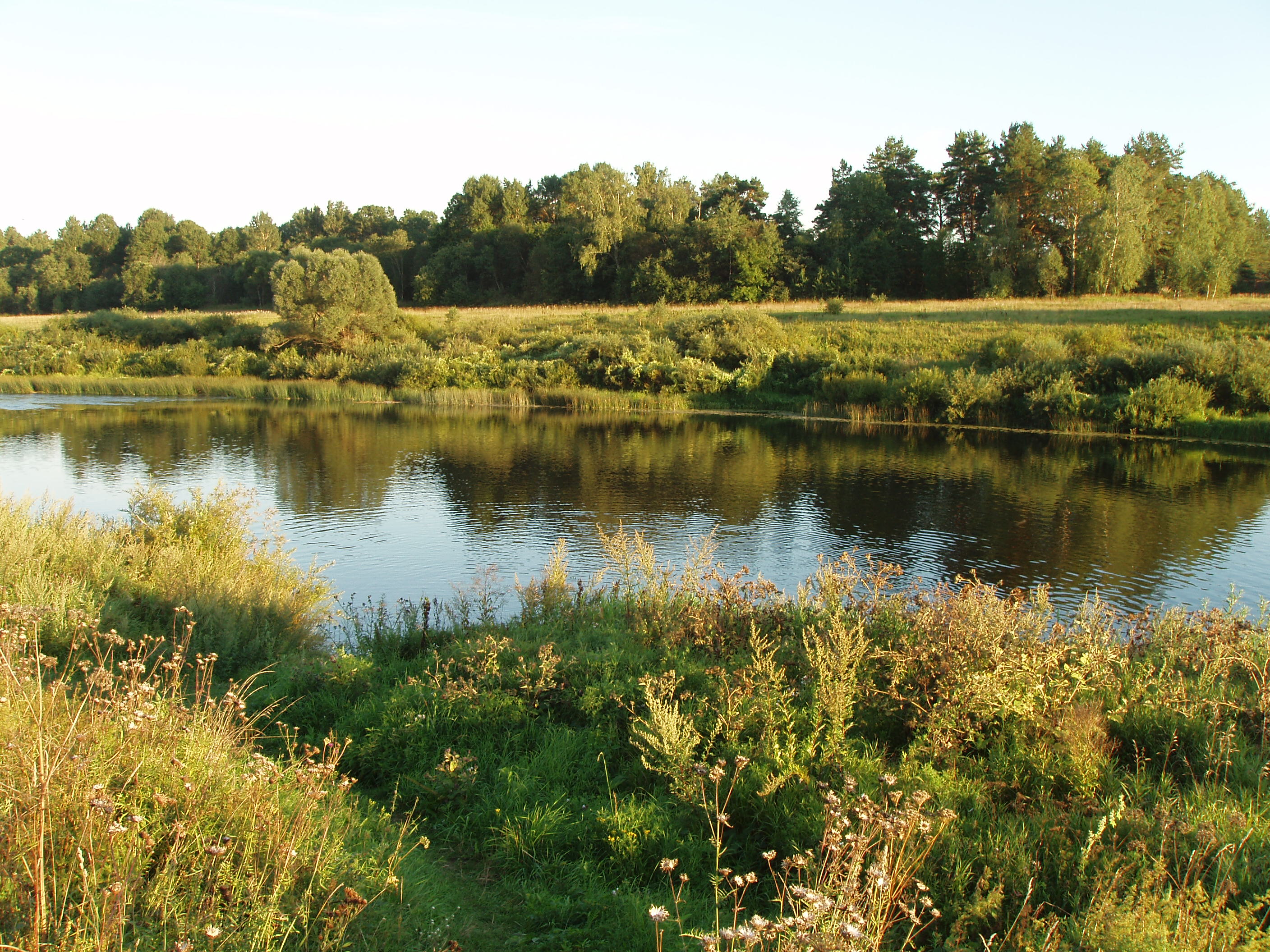
| Description | Река Угра со стороны дер. Поповка | ||
| Date | 27 March 2008 (original upload date) | ||
| Source | https://web.archive.org/web/20161010164202/http://www.panoramio.com/photo/8891680 | ||
| Author | xalexx | ||
| Permission (Reusing this file) |
This file is licensed under the Creative Commons Attribution 3.0 Unported license. Attribution: xalexx
|
| Camera location | | View this and other nearby images on: OpenStreetMap |
|---|
File history
Click on a date/time to view the file as it appeared at that time.
| Date/Time | Thumbnail | Dimensions | User | Comment | |
|---|---|---|---|---|---|
| current | 13:08, 23 February 2016 | | 2,816 × 2,112 (1.29 MB) | Panoramio upload bot (talk | contribs) | {{Information |description=Река Угра со стороны дер. Поповка |date={{Original upload date|2008-03-27}} |source=http://www.panoramio.com/photo/8891680 |author=[http://www.panoramio.com/user/1549054?with_photo_id=8891680 xalexx... |
You cannot overwrite this file.
File usage on Commons
There are no pages that use this file.