File:Рудная Пристань.jpg

Size of this preview: 800 × 600 pixels. Other resolutions: 320 × 240 pixels | 640 × 480 pixels | 1,024 × 768 pixels | 1,280 × 960 pixels | 1,824 × 1,368 pixels.
Original file (1,824 × 1,368 pixels, file size: 857 KB, MIME type: image/jpeg)
Captions
Captions
Add a one-line explanation of what this file represents
Summary
edit
| Description |
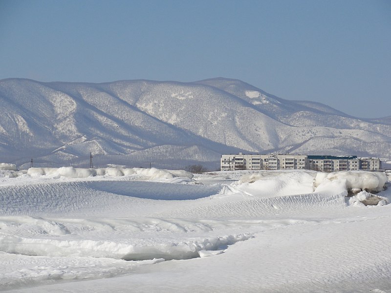
Русский: Рудная Пристань, ул. Арсеньева
Čeština: Rudnaja Pristaň, ulice Arseněva |
| Date |
23-02-2013 |
| Source |
Transferred from ru.wikipedia to Commons. |
| Author |
Романвер. The original uploader was Романвер at Russian Wikipedia. |
| Permission (Reusing this file) |
CC-ZERO; PD-USER. |
| Camera location | | View this and other nearby images on: OpenStreetMap |
|---|
Licensing
edit
| This work has been released into the public domain by its author, Романвер. This applies worldwide. In some countries this may not be legally possible; if so: |
Original upload log
edit
The original description page was here. All following user names refer to ru.wikipedia.
| Date/Time | Dimensions | User | Comment |
|---|---|---|---|
| 2013-03-25 00:03 | 1824×1368× (877899 bytes) | Романвер | {{Изображение | Описание = Рудная Пристань, ул. Арсеньева | Источник = авторское фото | Время создания = 23-02-2013 | Автор = Романвер }} |
File history
Click on a date/time to view the file as it appeared at that time.
| Date/Time | Thumbnail | Dimensions | User | Comment | |
|---|---|---|---|---|---|
| current | 17:48, 17 July 2017 | | 1,824 × 1,368 (857 KB) | Palu (talk | contribs) | User created page with UploadWizard |
You cannot overwrite this file.
File usage on Commons
The following page uses this file:
File usage on other wikis
The following other wikis use this file:
- Usage on arz.wikipedia.org
- Usage on ceb.wikipedia.org
- Usage on cs.wikipedia.org
- Usage on fr.wikipedia.org
- Usage on ig.wikipedia.org
- Usage on ja.wikipedia.org
- Usage on ko.wikipedia.org
- Usage on www.wikidata.org