File:Село Липовень прикрыто ближним холмом с пашней. А вдалеке (на г - panoramio.jpg

Size of this preview: 800 × 493 pixels. Other resolutions: 320 × 197 pixels | 640 × 394 pixels | 1,024 × 631 pixels | 1,280 × 789 pixels | 2,048 × 1,262 pixels.
Original file (2,048 × 1,262 pixels, file size: 799 KB, MIME type: image/jpeg)
Captions
Captions
Add a one-line explanation of what this file represents
Summary edit
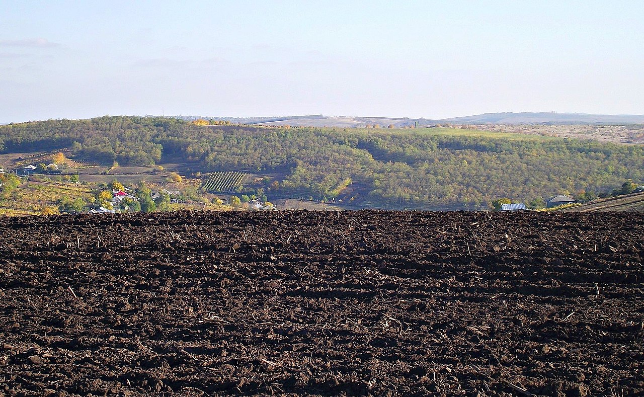
| Description | Село Липовень прикрыто ближним холмом с пашней. А вдалеке (на гребне самого дальнего холма), можно разглядеть село Порумбрей (которое на трассе от Кишинева к Чимишлии). | ||
| Date | Taken on 19 October 2012 | ||
| Source | https://web.archive.org/web/20161024154210/http://www.panoramio.com/photo/83986378 | ||
| Author | Анатолий Зубанюк | ||
| Permission (Reusing this file) |
This file is licensed under the Creative Commons Attribution 3.0 Unported license. Attribution: Анатолий Зубанюк
|
||
| Tags (from Panoramio photo page) | Lipoveni |
| Camera location | | View this and other nearby images on: OpenStreetMap |
|---|
File history
Click on a date/time to view the file as it appeared at that time.
| Date/Time | Thumbnail | Dimensions | User | Comment | |
|---|---|---|---|---|---|
| current | 09:01, 9 February 2017 | | 2,048 × 1,262 (799 KB) | Panoramio upload bot (talk | contribs) | == {{int:filedesc}} == {{Information |description=Село Липовень прикрыто ближним холмом с пашней. А вдалеке (на гребне самого дальнего холма), можно разглядеть с... |
You cannot overwrite this file.
File usage on Commons
There are no pages that use this file.