File:Ущелье р.Тахтакорум сев. - panoramio.jpg

Size of this preview: 800 × 533 pixels. Other resolutions: 320 × 213 pixels | 640 × 427 pixels | 1,024 × 683 pixels | 1,280 × 853 pixels | 2,592 × 1,728 pixels.
Original file (2,592 × 1,728 pixels, file size: 2.28 MB, MIME type: image/jpeg)
Captions
Captions
Add a one-line explanation of what this file represents
Summary edit
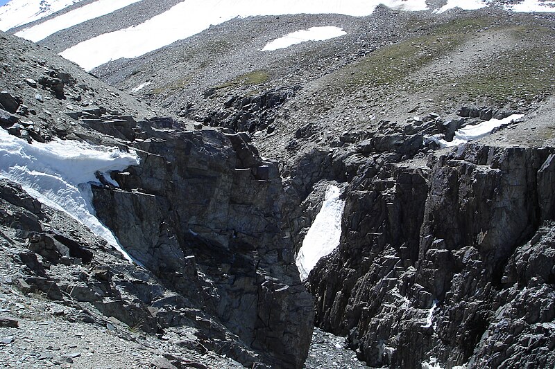
| Description | ущелье р.Тахтакорум сев. | ||
| Date | Taken on 26 June 2014 | ||
| Source | https://web.archive.org/web/20161102064352/http://www.panoramio.com/photo/115090191 | ||
| Author | AmanovDmitry | ||
| Permission (Reusing this file) |
This file is licensed under the Creative Commons Attribution 3.0 Unported license. Attribution: AmanovDmitry
|
||
| Panoramio Tags | Gorno-Badakhshan Autonomous Province, 2014, Mountains, Pamir, д15, Таджикистан |
| Camera location | | View this and other nearby images on: OpenStreetMap |
|---|
File history
Click on a date/time to view the file as it appeared at that time.
| Date/Time | Thumbnail | Dimensions | User | Comment | |
|---|---|---|---|---|---|
| current | 22:46, 15 May 2017 | | 2,592 × 1,728 (2.28 MB) | Panoramio upload bot (talk | contribs) | == {{int:filedesc}} == {{Information |description=ущелье р.Тахтакорум сев. |date={{Taken on|2014-06-26}} |source=http://www.panoramio.com/photo/115090191 |author=[http://www.panoramio.com/user/6316780?with_photo_id=115090191 AmanovD... |
You cannot overwrite this file.
File usage on Commons
There are no pages that use this file.