File:Федосово P1170314-P1170315.jpg
![File:Федосово P1170314-P1170315.jpg](https://upload.wikimedia.org/wikipedia/commons/thumb/9/91/%D0%A4%D0%B5%D0%B4%D0%BE%D1%81%D0%BE%D0%B2%D0%BE_P1170314-P1170315.jpg/800px-%D0%A4%D0%B5%D0%B4%D0%BE%D1%81%D0%BE%D0%B2%D0%BE_P1170314-P1170315.jpg?20210503064821)
Size of this preview: 800 × 290 pixels. Other resolutions: 320 × 116 pixels | 640 × 232 pixels | 1,024 × 371 pixels | 1,280 × 464 pixels | 4,499 × 1,632 pixels.
Original file (4,499 × 1,632 pixels, file size: 1.35 MB, MIME type: image/jpeg)
File information
Structured data
Captions
Captions
Add a one-line explanation of what this file represents
Summary
editDescriptionФедосово P1170314-P1170315.jpg |
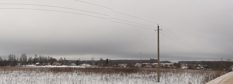
Русский: Федосово — деревня в Медынском районе Калужской области России. Входит в состав сельского поселения «Село Никитское». |
Date | |
Source | Own work |
Author | Pansosh |
Camera location | 55° 12′ 53.7″ N, 35° 50′ 50.56″ E ![]() | View this and other nearby images on: OpenStreetMap | ![]() |
---|
Licensing
editI, the copyright holder of this work, hereby publish it under the following license:
![w:en:Creative Commons](https://upload.wikimedia.org/wikipedia/commons/thumb/7/79/CC_some_rights_reserved.svg/90px-CC_some_rights_reserved.svg.png)
![attribution](https://upload.wikimedia.org/wikipedia/commons/thumb/1/11/Cc-by_new_white.svg/24px-Cc-by_new_white.svg.png)
![share alike](https://upload.wikimedia.org/wikipedia/commons/thumb/d/df/Cc-sa_white.svg/24px-Cc-sa_white.svg.png)
This file is licensed under the Creative Commons Attribution-Share Alike 4.0 International license.
- You are free:
- to share – to copy, distribute and transmit the work
- to remix – to adapt the work
- Under the following conditions:
- attribution – You must give appropriate credit, provide a link to the license, and indicate if changes were made. You may do so in any reasonable manner, but not in any way that suggests the licensor endorses you or your use.
- share alike – If you remix, transform, or build upon the material, you must distribute your contributions under the same or compatible license as the original.
File history
Click on a date/time to view the file as it appeared at that time.
Date/Time | Thumbnail | Dimensions | User | Comment | |
---|---|---|---|---|---|
current | 06:48, 3 May 2021 | ![]() | 4,499 × 1,632 (1.35 MB) | Pansosh (talk | contribs) | Uploaded with digiKam uploader |
You cannot overwrite this file.
File usage on Commons
There are no pages that use this file.
Metadata
This file contains additional information such as Exif metadata which may have been added by the digital camera, scanner, or software program used to create or digitize it. If the file has been modified from its original state, some details such as the timestamp may not fully reflect those of the original file. The timestamp is only as accurate as the clock in the camera, and it may be completely wrong.
Image title |
|
---|---|
Camera manufacturer | Panasonic |
Camera model | DMC-FZ8 |
Author | Picasa |
Date and time of data generation | 14:44, 14 February 2015 |
User comments |
|
Latitude | 55° 12′ 53.7″ N |
Longitude | 35° 50′ 50.56″ E |
Altitude | 0 meters above sea level |
Horizontal resolution | 1 dpc |
Vertical resolution | 1 dpc |
Software used | Hugin 2019.2.0.b690aa0334b5 |
File change date and time | 14:44, 14 February 2015 |
Y and C positioning | Centered |
Exif version | 2.32 |
Date and time of digitizing | 14:44, 14 February 2015 |
Meaning of each component |
|
Supported Flashpix version | 1 |
Color space | sRGB |
Geodetic survey data used | WGS-84 |
GPS tag version | 2.0.0.0 |
Date metadata was last modified | 14:44, 14 February 2015 |
Urgency | 0 |
Keywords |
|
IIM version | 4 |