File:צומת הערבה.svg

Size of this PNG preview of this SVG file: 800 × 441 pixels. Other resolutions: 320 × 177 pixels | 640 × 353 pixels | 1,024 × 565 pixels | 1,280 × 706 pixels | 2,560 × 1,413 pixels | 839 × 463 pixels.
Original file (SVG file, nominally 839 × 463 pixels, file size: 18 KB)
Captions
Captions
Add a one-line explanation of what this file represents
Summary edit
| Description |
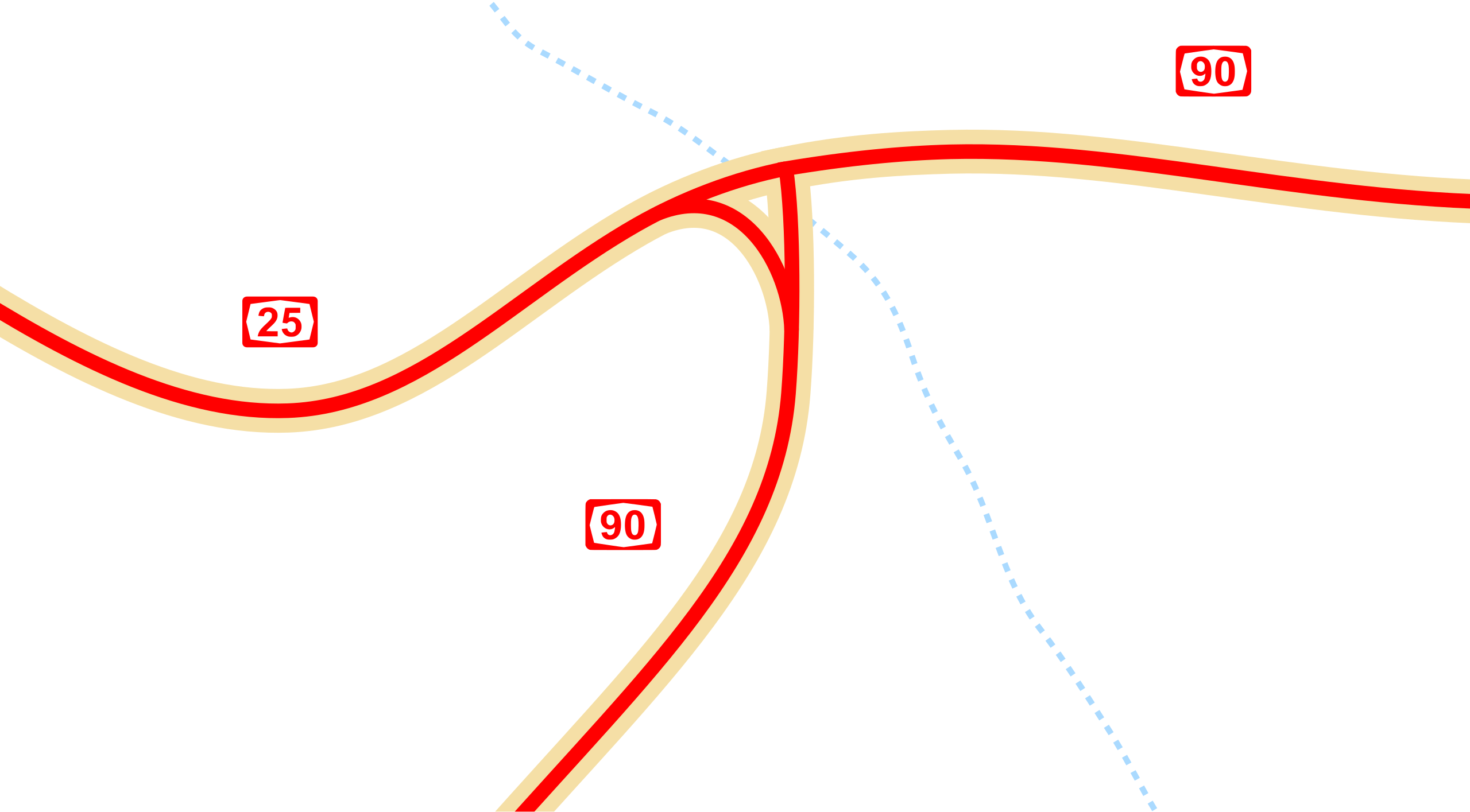
עברית: תרשים צומת הערבה. |
| Date | |
| Source |
Own work by the original uploader.
Transferred from he.wikipedia to Commons. |
| Author | The original uploader was עדן78 at Hebrew Wikipedia. |
| Permission (Reusing this file) |
Original text: חופשי |
Licensing edit
| I, the copyright holder of this work, release this work into the public domain. This applies worldwide. In some countries this may not be legally possible; if so: I grant anyone the right to use this work for any purpose, without any conditions, unless such conditions are required by law. |
Original upload log edit
Transferred from he.wikipedia to Commons using For the Common Good.
The original description page was here. All following user names refer to he.wikipedia.
| Date/Time | Dimensions | User | Comment |
|---|---|---|---|
| 17:02, 4 January 2008 | 739 × 427 (3,642 bytes) | w:he:עדן78 (talk | contribs) | {{מידע| |תיאור=צומת הערבה, תרשים |מקור=אני יצרתי |תאריך יצירה=4.1.08 |יוצר=אני יצרתי |אישורים והיתרים=חופשי |גרסאות אחרות=אין }} {{שימוש חופשי|עדן78}} |
File history
Click on a date/time to view the file as it appeared at that time.
| Date/Time | Thumbnail | Dimensions | User | Comment | |
|---|---|---|---|---|---|
| current | 21:49, 6 October 2018 | | 839 × 463 (18 KB) | רונאלדיניו המלך (talk | contribs) | colors |
| 21:40, 6 October 2018 |  | 839 × 463 (30 KB) | רונאלדיניו המלך (talk | contribs) | bigger road sign | |
| 21:08, 6 October 2018 |  | 839 × 463 (29 KB) | רונאלדיניו המלך (talk | contribs) | update | |
| 21:07, 6 October 2018 |  | 839 × 463 (29 KB) | רונאלדיניו המלך (talk | contribs) | update | |
| 23:01, 13 November 2015 |  | 739 × 427 (4 KB) | Geagea (talk | contribs) | Transferred from he.wikipedia: see original upload log above |
You cannot overwrite this file.
File usage on Commons
The following 7 pages use this file:
- User:Chumwa/OgreBot/Potential transport maps/2018 October 1-10
- User:Chumwa/OgreBot/Transport Maps/2015 November 11-20
- User:Chumwa/OgreBot/Transport Maps/2018 October 1-10
- User:Chumwa/OgreBot/Travel and communication maps/2018 October 1-10
- User:Geagea/Israel/2015 November 13
- User:Geagea/Israel/2018 October 6
- User:Pechristener/Bridges/2015 November 11-20
File usage on other wikis
The following other wikis use this file:
- Usage on he.wikipedia.org