File:หน่วยพัฒนาการเคลื่อนที่๕๖ อุบลราชธานี - panoramio.jpg

Size of this preview: 785 × 599 pixels. Other resolutions: 314 × 240 pixels | 629 × 480 pixels | 952 × 727 pixels.
Original file (952 × 727 pixels, file size: 208 KB, MIME type: image/jpeg)
Captions
Captions
Add a one-line explanation of what this file represents
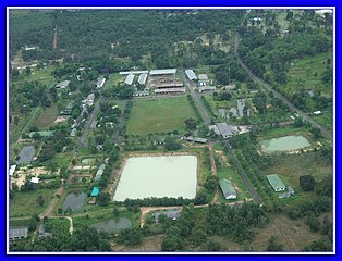
| Description | หน่วยพัฒนาการเคลื่อนที่๕๖ อุบลราชธานี | ||
| Date | Taken on 6 September 2010 | ||
| Source | https://web.archive.org/web/20161018012816/http://www.panoramio.com/photo/41205514 | ||
| Author | thecocojazz | ||
| Permission (Reusing this file) |
This file is licensed under the Creative Commons Attribution 3.0 Unported license. Attribution: thecocojazz
|
||
| Tags (from Panoramio photo page) | Klang, หน่วยพัฒนาการเคลื่อนที่๕๖ อุบลราชธานี |
| Camera location | | View this and other nearby images on: OpenStreetMap |
|---|
File history
Click on a date/time to view the file as it appeared at that time.
| Date/Time | Thumbnail | Dimensions | User | Comment | |
|---|---|---|---|---|---|
| current | 22:05, 10 November 2016 | | 952 × 727 (208 KB) | Panoramio upload bot (talk | contribs) | {{Information |description=หน่วยพัฒนาการเคลื่อนที่๕๖ อุบลราชธานี |date={{Taken on|2010-09-06}} |source=http://www.panoramio.com/photo/41205514 |author=[http://www.panoramio.com/use... |
You cannot overwrite this file.
File usage on Commons
There are no pages that use this file.