File:勐波县在佤邦北部地区的位置.png
Size of this preview: 459 × 599 pixels. Other resolutions: 184 × 240 pixels | 613 × 800 pixels.
Original file (613 × 800 pixels, file size: 13 KB, MIME type: image/png)
Captions
Captions
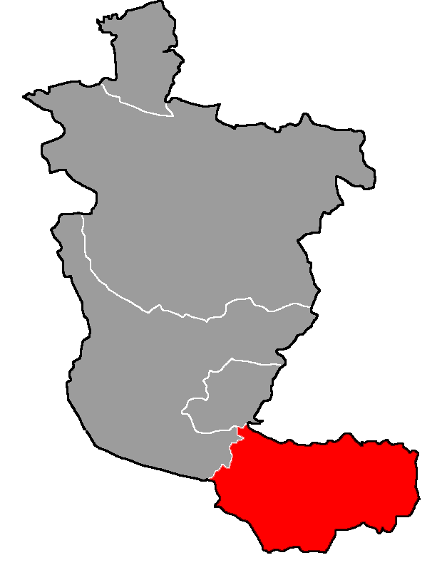
Location map of MongPawk County in Northern Wa State
Summary
edit
| Description |
中文(简体):勐波县在佤邦北部地区的位置
English: Location map of MongPawk County in Northern Wa State |
| Date | |
| Source | Own work |
| Author | Ngguls |

|
This map image could be re-created using vector graphics as an SVG file. This has several advantages; see Commons:Media for cleanup for more information. If an SVG form of this image is available, please upload it and afterwards replace this template with
{{vector version available|new image name}}.
It is recommended to name the SVG file “勐波县在佤邦北部地区的位置.svg”—then the template Vector version available (or Vva) does not need the new image name parameter. |
根据佤邦官方微信公众号“佤邦之音”在文章中提供的《缅甸联邦佤邦志》中的佤邦北部地区地图制作。
Licensing
edit
I, the copyright holder of this work, hereby publish it under the following license:
This file is licensed under the Creative Commons Attribution-Share Alike 4.0 International license.
- You are free:
- to share – to copy, distribute and transmit the work
- to remix – to adapt the work
- Under the following conditions:
- attribution – You must give appropriate credit, provide a link to the license, and indicate if changes were made. You may do so in any reasonable manner, but not in any way that suggests the licensor endorses you or your use.
- share alike – If you remix, transform, or build upon the material, you must distribute your contributions under the same or compatible license as the original.
File history
Click on a date/time to view the file as it appeared at that time.
| Date/Time | Thumbnail | Dimensions | User | Comment | |
|---|---|---|---|---|---|
| current | 04:34, 14 February 2021 | | 613 × 800 (13 KB) | Ngguls (talk | contribs) | Uploaded own work with UploadWizard |
You cannot overwrite this file.
File usage on Commons
There are no pages that use this file.
File usage on other wikis
The following other wikis use this file:
- Usage on zh.wikipedia.org