File:向山行政暨遊客中心-2.jpg

Size of this preview: 800 × 533 pixels. Other resolutions: 320 × 213 pixels | 640 × 426 pixels | 1,024 × 682 pixels | 1,280 × 853 pixels | 1,600 × 1,066 pixels.
Original file (1,600 × 1,066 pixels, file size: 136 KB, MIME type: image/jpeg)
Captions
Captions
Add a one-line explanation of what this file represents
Summary
edit
| Description |
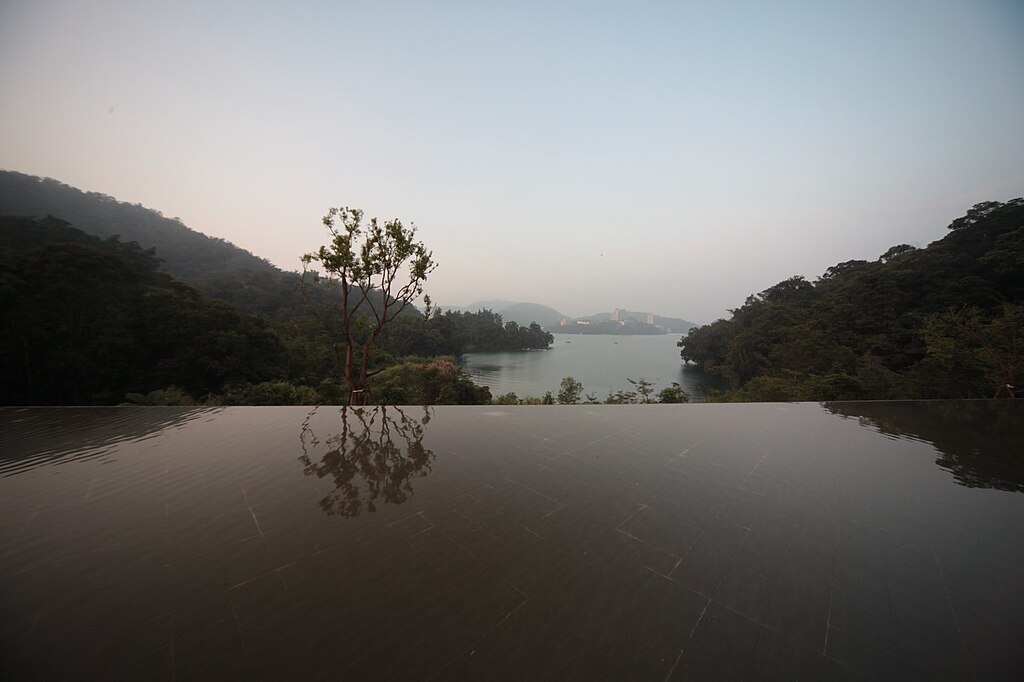
中文(繁體):向山行政暨遊客中心照片,由作者楊恩達 Enta Yang授權使用‧ |
| Source | http://forgemind.net/ https://www.flickr.com/photos/eager/5101336493/ |
| Author | 楊恩達 Enta Yang http://forgemind.net/ |
| Camera location | | View this and other nearby images on: OpenStreetMap |
|---|
Licensing
edit
This file is licensed under the Creative Commons Attribution-Share Alike 3.0 Unported license.
- You are free:
- to share – to copy, distribute and transmit the work
- to remix – to adapt the work
- Under the following conditions:
- attribution – You must give appropriate credit, provide a link to the license, and indicate if changes were made. You may do so in any reasonable manner, but not in any way that suggests the licensor endorses you or your use.
- share alike – If you remix, transform, or build upon the material, you must distribute your contributions under the same or compatible license as the original.
File history
Click on a date/time to view the file as it appeared at that time.
| Date/Time | Thumbnail | Dimensions | User | Comment | |
|---|---|---|---|---|---|
| current | 10:04, 1 March 2011 | | 1,600 × 1,066 (136 KB) | Frankou (talk | contribs) | large size |
| 09:53, 1 March 2011 |  | 1,600 × 1,066 (136 KB) | Frankou (talk | contribs) | {{Information |Description ={{zh-hant|1=向山行政暨遊客中心照片,由作者楊恩達 Enta Yang授權使用‧}} |Source =http://forgemind.net/ http://www.flickr.com/photos/eager/5101336493/ |Author =楊恩達 Enta Yang http:/ |
You cannot overwrite this file.
File usage on Commons
There are no pages that use this file.
File usage on other wikis
The following other wikis use this file:
- Usage on zh.wikipedia.org