File:大島大橋2.jpg
Size of this preview: 718 × 599 pixels. Other resolutions: 288 × 240 pixels | 575 × 480 pixels | 920 × 768 pixels | 1,112 × 928 pixels.
Original file (1,112 × 928 pixels, file size: 605 KB, MIME type: image/jpeg)
Captions
Captions
Add a one-line explanation of what this file represents
Summary edit
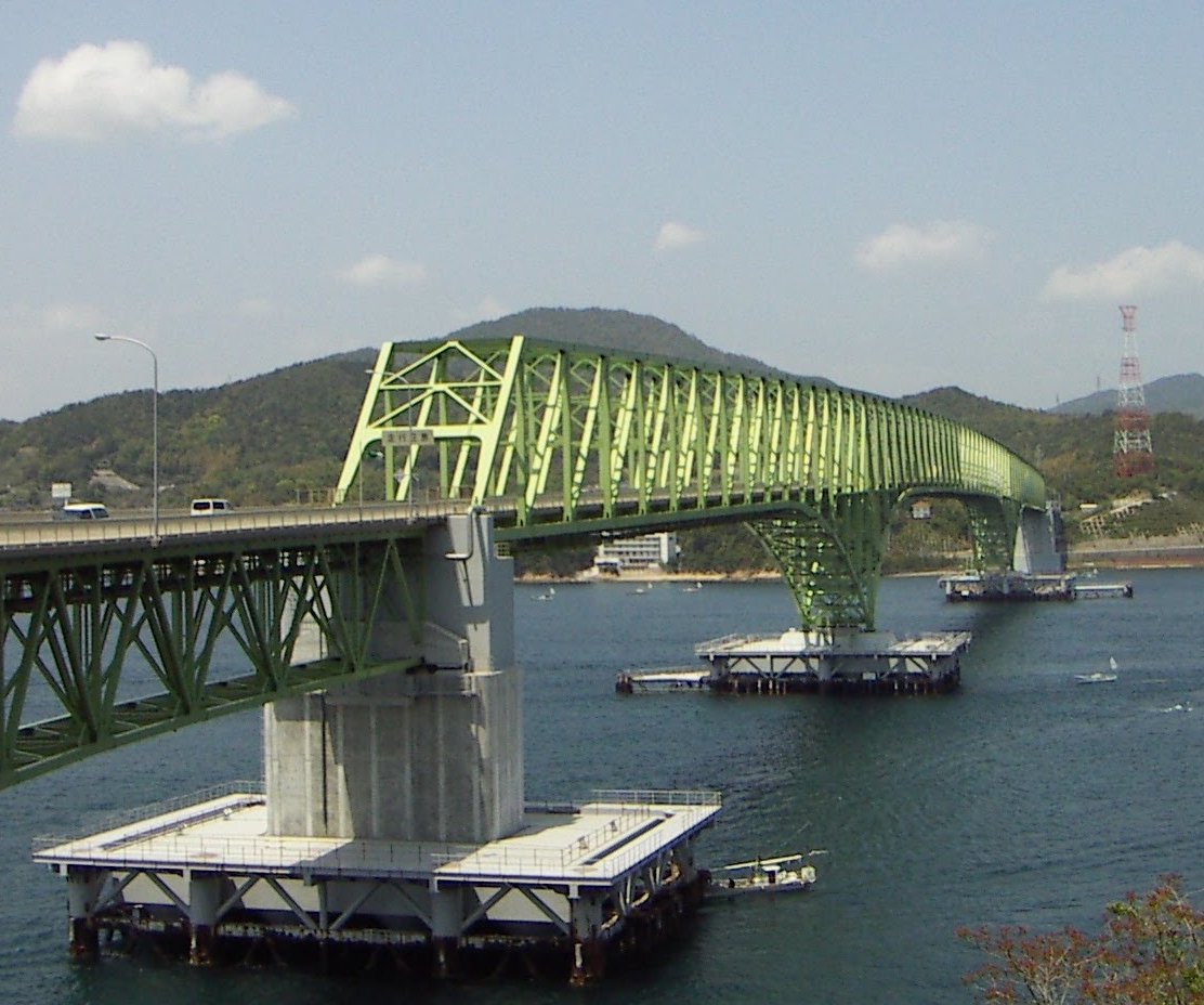
| Description | 大島大橋 |
| Date | |
| Source | panoramio |
| Author | Yobito KAYANUMA |
| Other versions |
|

| Camera location | | View this and other nearby images on: OpenStreetMap |
|---|
| This is a retouched picture, which means that it has been digitally altered from its original version. Modifications: cropped.
|
Licensing edit
This file is licensed under the Creative Commons Attribution-Share Alike 3.0 Unported license.
- You are free:
- to share – to copy, distribute and transmit the work
- to remix – to adapt the work
- Under the following conditions:
- attribution – You must give appropriate credit, provide a link to the license, and indicate if changes were made. You may do so in any reasonable manner, but not in any way that suggests the licensor endorses you or your use.
- share alike – If you remix, transform, or build upon the material, you must distribute your contributions under the same or compatible license as the original.
| This image, which was originally posted to Panoramio, was reviewed on 12 May 2012 by the administrator or trusted user Tm, who confirmed that it was available on Panoramio under the above license on that date. |
File history
Click on a date/time to view the file as it appeared at that time.
| Date/Time | Thumbnail | Dimensions | User | Comment | |
|---|---|---|---|---|---|
| current | 16:16, 13 May 2012 | | 1,112 × 928 (605 KB) | Glabb (talk | contribs) | {{Information |Description=大島大橋 |Source=[http://www.panoramio.com/photo/46179315 panoramio] |Date=2006-05-04 12:46 |Author=[http://www.panoramio.com/user/5198788 Yobito KAYANUMA] |Permission= |other_versions = <gallery>Image:大島大橋.jpg</g... |
You cannot overwrite this file.
File usage on Commons
The following page uses this file:
File usage on other wikis
The following other wikis use this file:
- Usage on en.wikipedia.org
- Usage on fr.wikipedia.org