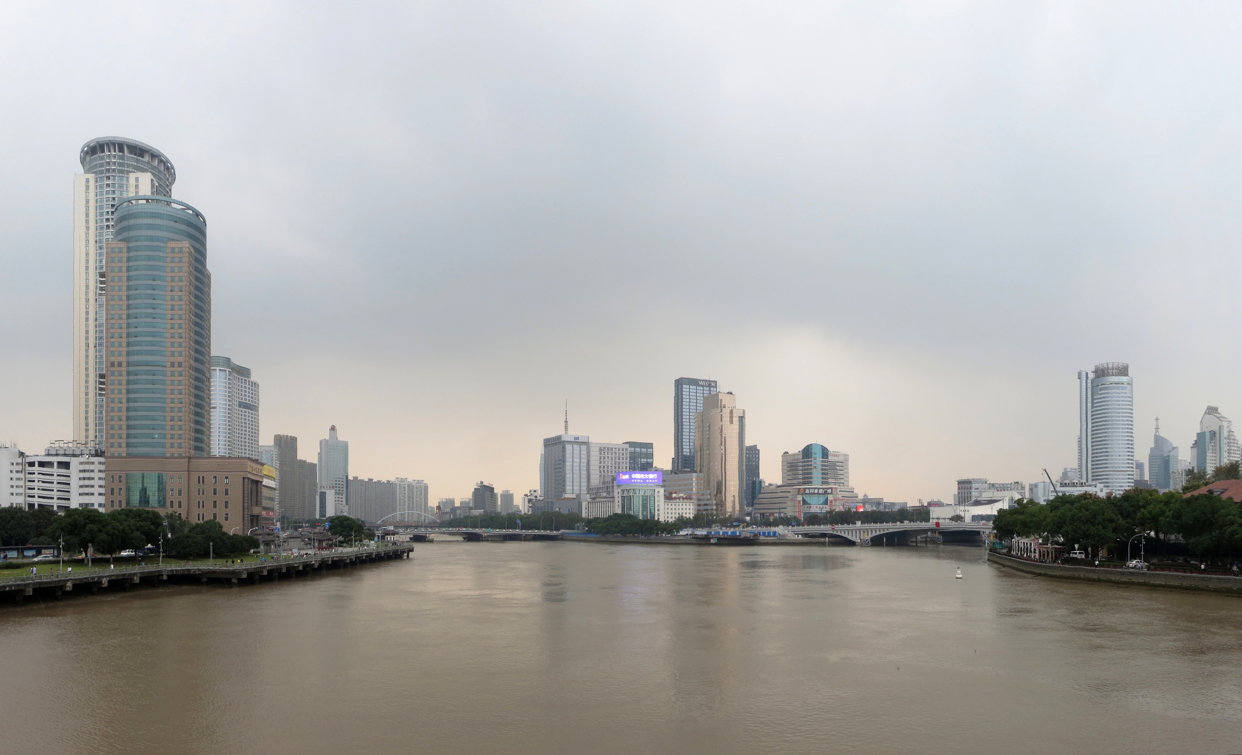
File:宁波三江口 - Junction of Three Rivers - 2015.10 - panoramio.jpg
Size of this preview: 800 × 487 pixels. Other resolutions: 320 × 195 pixels | 640 × 389 pixels | 1,024 × 623 pixels | 1,280 × 778 pixels | 2,560 × 1,557 pixels | 4,772 × 2,902 pixels.
Original file (4,772 × 2,902 pixels, file size: 2.47 MB, MIME type: image/jpeg)
Captions
Captions
Add a one-line explanation of what this file represents
Summary
edit
| Description | 宁波三江口 - Junction of Three Rivers - 2015.10 | ||
| Date | Taken on 25 October 2015 | ||
| Source | https://web.archive.org/web/20161102234659/http://www.panoramio.com/photo/125090678 | ||
| Author | rheins | ||
| Permission (Reusing this file) |
This file is licensed under the Creative Commons Attribution 3.0 Unported license. Attribution: rheins
|
||
| Panoramio Tags | Ningbo, 宁波 - Ningbo City |
| Camera location | | View this and other nearby images on: OpenStreetMap |
|---|
File history
Click on a date/time to view the file as it appeared at that time.
| Date/Time | Thumbnail | Dimensions | User | Comment | |
|---|---|---|---|---|---|
| current | 22:57, 12 June 2017 | | 4,772 × 2,902 (2.47 MB) | Panoramio upload bot (talk | contribs) | == {{int:filedesc}} == {{Information |description=宁波三江口 - Junction of Three Rivers - 2015.10 |date={{Taken on|2015-10-25}} |source=http://www.panoramio.com/photo/125090678 |author=[http://www.panoramio.com/user/5226993?with_photo_id=125090678... |
You cannot overwrite this file.
File usage on Commons
There are no pages that use this file.
File usage on other wikis
The following other wikis use this file:
- Usage on fi.wikipedia.org