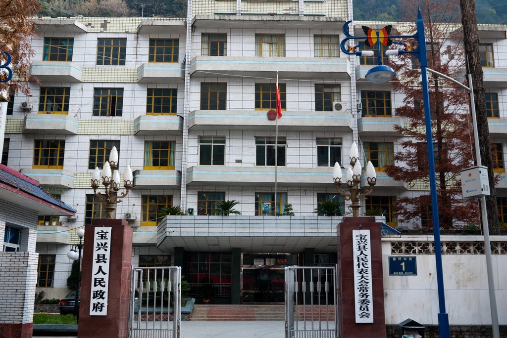
File:宝兴县人民政府 - panoramio.jpg

Size of this preview: 800 × 535 pixels. Other resolutions: 320 × 214 pixels | 640 × 428 pixels | 1,024 × 684 pixels | 1,200 × 802 pixels.
Original file (1,200 × 802 pixels, file size: 467 KB, MIME type: image/jpeg)
Captions
Captions
Add a one-line explanation of what this file represents
Summary edit
| Description | 宝兴县人民政府 | ||
| Date | Taken on 13 December 2009 | ||
| Source | https://web.archive.org/web/20161013195230/http://www.panoramio.com/photo/29838187 | ||
| Author | Lau Phang | ||
| Permission (Reusing this file) |
This file is licensed under the Creative Commons Attribution-Share Alike 3.0 Unported license. Attribution: Lau Phang
|
||
| Tags (from Panoramio photo page) | Ya'an, 40mm下的雅安宝兴 |
| Camera location | | View this and other nearby images on: OpenStreetMap |
|---|
File history
Click on a date/time to view the file as it appeared at that time.
| Date/Time | Thumbnail | Dimensions | User | Comment | |
|---|---|---|---|---|---|
| current | 01:04, 9 December 2016 | | 1,200 × 802 (467 KB) | Panoramio upload bot (talk | contribs) | == {{int:filedesc}} == {{Information |description=宝兴县人民政府 |date={{Taken on|2009-12-13}} |source=http://www.panoramio.com/photo/29838187 |author=[http://www.panoramio.com/user/2837326?with_photo_id=29838187 Lau Phang] |permission={{cc-by-s... |
You cannot overwrite this file.
File usage on Commons
There are no pages that use this file.
File usage on other wikis
The following other wikis use this file:
- Usage on fr.wikipedia.org