File:Mount Maefurano with wheat fields - panoramio.jpg
(Redirected from File:富良野岳と麦畑 - panoramio.jpg)

Size of this preview: 800 × 600 pixels. Other resolutions: 320 × 240 pixels | 640 × 480 pixels | 1,024 × 768 pixels | 1,280 × 960 pixels | 1,600 × 1,200 pixels.
Original file (1,600 × 1,200 pixels, file size: 650 KB, MIME type: image/jpeg)
Captions
Captions
Add a one-line explanation of what this file represents
Summary edit
| Description |
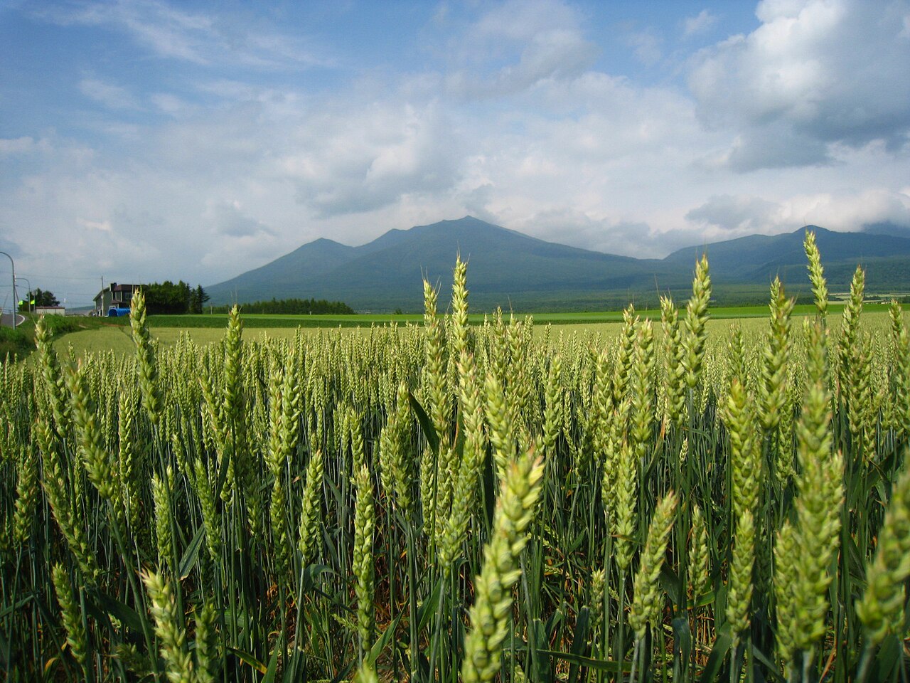
English: Mount Maefurano with wheat fields in Hokkaido, Japan. 日本語: 北海道の前富良野岳と麦畑。 |
||
| Date | Taken on 7 July 2012 | ||
| Source | https://web.archive.org/web/20161024142138/http://www.panoramio.com/photo/74983107 | ||
| Author | pakku | ||
| Permission (Reusing this file) |
This file is licensed under the Creative Commons Attribution 3.0 Unported license. Attribution: pakku
|
||
| Tags (from Panoramio photo page) | Furano, Furano, mountain, 夏, 山 |
| Camera location | | View this and other nearby images on: OpenStreetMap |
|---|
File history
Click on a date/time to view the file as it appeared at that time.
| Date/Time | Thumbnail | Dimensions | User | Comment | |
|---|---|---|---|---|---|
| current | 07:44, 7 January 2017 | | 1,600 × 1,200 (650 KB) | Panoramio upload bot (talk | contribs) | == {{int:filedesc}} == {{Information |description=富良野岳と麦畑 |date={{Taken on|2012-07-07}} |source=http://www.panoramio.com/photo/74983107 |author=[http://www.panoramio.com/user/1029415?with_photo_id=74983107 pakku] |permission={{cc-by-3.0|p... |
You cannot overwrite this file.
File usage on Commons
The following page uses this file:
- File:富良野岳と麦畑 - panoramio.jpg (file redirect)