File:建设中的高铁铁道 Highspeed rail is being built - panoramio.jpg

Size of this preview: 800 × 600 pixels. Other resolutions: 320 × 240 pixels | 640 × 480 pixels | 1,024 × 768 pixels | 1,280 × 960 pixels | 2,560 × 1,920 pixels | 3,264 × 2,448 pixels.
Original file (3,264 × 2,448 pixels, file size: 2.6 MB, MIME type: image/jpeg)
Captions
Captions
Add a one-line explanation of what this file represents
Summary
edit
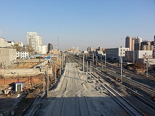
| Description | 建设中的高铁铁道 Highspeed rail is being built | ||
| Date | Taken on 20 April 2015 | ||
| Source | https://web.archive.org/web/20161031040756/http://www.panoramio.com/photo/120262179 | ||
| Author | Jacky Lee | ||
| Permission (Reusing this file) |
This file is licensed under the Creative Commons Attribution 3.0 Unported license. Attribution: Jacky Lee
|
||
| Panoramio Tags | Dandong, Dan Dong.丹东 |
| Camera location | | View this and other nearby images on: OpenStreetMap |
|---|
File history
Click on a date/time to view the file as it appeared at that time.
| Date/Time | Thumbnail | Dimensions | User | Comment | |
|---|---|---|---|---|---|
| current | 13:39, 15 May 2017 | | 3,264 × 2,448 (2.6 MB) | Panoramio upload bot (talk | contribs) | == {{int:filedesc}} == {{Information |description=建设中的高铁铁道 Highspeed rail is being built |date={{Taken on|2015-04-20}} |source=http://www.panoramio.com/photo/120262179 |author=[http://www.panoramio.com/user/912816?with_photo_id=12026217... |
You cannot overwrite this file.
File usage on Commons
There are no pages that use this file.