File:日本水準原点標庫 - panoramio.jpg

Size of this preview: 800 × 540 pixels. Other resolutions: 320 × 216 pixels | 640 × 432 pixels | 1,024 × 691 pixels | 1,280 × 863 pixels | 1,600 × 1,079 pixels.
Original file (1,600 × 1,079 pixels, file size: 320 KB, MIME type: image/jpeg)
Captions
Captions
Add a one-line explanation of what this file represents
Summary
edit
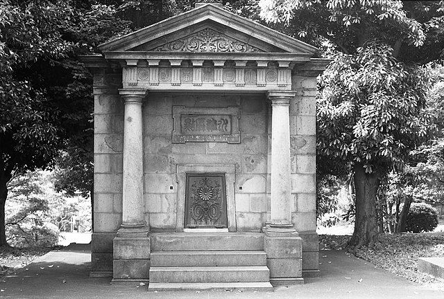
| Description | 日本水準原点標庫 | ||
| Date | 7 June 2011 (original upload date) | ||
| Source | https://web.archive.org/web/20161022182811/http://www.panoramio.com/photo/53861934 | ||
| Author | shikabane taro | ||
| Permission (Reusing this file) |
This file is licensed under the Creative Commons Attribution 3.0 Unported license. Attribution: shikabane taro
|
||
| Tags (from Panoramio photo page) | Chiyoda-ku, 大江戸細見 |
| Camera location | | View this and other nearby images on: OpenStreetMap |
|---|
File history
Click on a date/time to view the file as it appeared at that time.
| Date/Time | Thumbnail | Dimensions | User | Comment | |
|---|---|---|---|---|---|
| current | 22:03, 26 November 2016 | | 1,600 × 1,079 (320 KB) | Panoramio upload bot (talk | contribs) | == {{int:filedesc}} == {{Information |description=日本水準原点標庫 |date={{Original upload date|2011-06-07}} |source=http://www.panoramio.com/photo/53861934 |author=[http://www.panoramio.com/user/3658107?with_photo_id=53861934 shikabane taro] |... |
You cannot overwrite this file.
File usage on Commons
There are no pages that use this file.
File usage on other wikis
The following other wikis use this file:
- Usage on ja.wikipedia.org