File:柿元ダム - panoramio.jpg
Size of this preview: 750 × 600 pixels. Other resolutions: 300 × 240 pixels | 600 × 480 pixels | 960 × 768 pixels | 1,280 × 1,024 pixels.
Original file (1,280 × 1,024 pixels, file size: 337 KB, MIME type: image/jpeg)
Captions
Captions
Add a one-line explanation of what this file represents
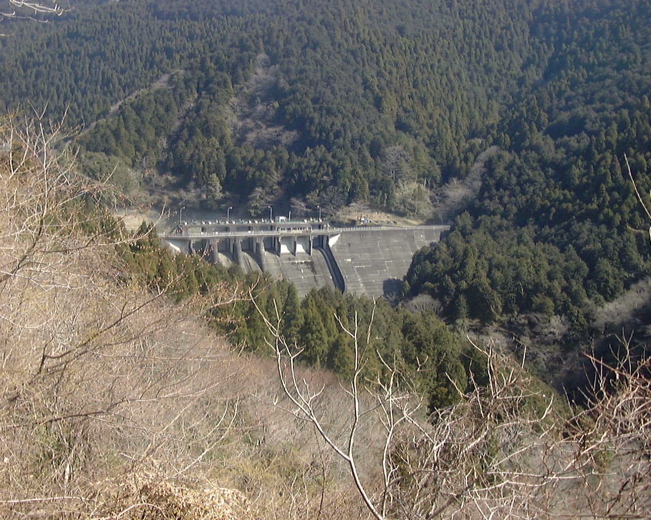
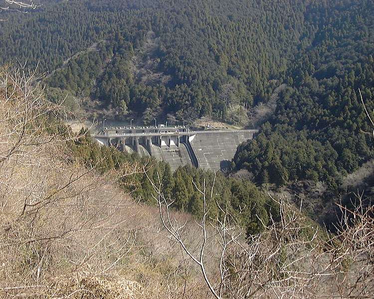
| Description | 柿元ダム | ||
| Date | Taken on 28 March 2004 | ||
| Source | https://web.archive.org/web/20161012042832/http://www.panoramio.com/photo/10139073 | ||
| Author | 浅野ます道 | ||
| Permission (Reusing this file) |
This file is licensed under the Creative Commons Attribution 3.0 Unported license. Attribution: 浅野ます道
|
||
| Other versions |
.jpg)
| Camera location | | View this and other nearby images on: OpenStreetMap |
|---|
File history
Click on a date/time to view the file as it appeared at that time.
| Date/Time | Thumbnail | Dimensions | User | Comment | |
|---|---|---|---|---|---|
| current | 03:16, 22 March 2016 | | 1,280 × 1,024 (337 KB) | Panoramio upload bot (talk | contribs) | {{Information |description=柿元ダム |date={{Taken on|2004-03-28}} |source=http://www.panoramio.com/photo/10139073 |author=[http://www.panoramio.com/user/1717189?with_photo_id=10139073 浅野ます道] |permission={{cc-by-3.0|浅野ます道}} {{Pan... |
You cannot overwrite this file.
File usage on Commons
The following page uses this file:
File usage on other wikis
The following other wikis use this file:
- Usage on ja.wikipedia.org