File:桜から見おろした田村地区 - panoramio.jpg
Size of this preview: 800 × 533 pixels. Other resolutions: 320 × 213 pixels | 640 × 427 pixels | 1,024 × 683 pixels | 1,280 × 853 pixels | 2,560 × 1,707 pixels | 6,000 × 4,000 pixels.
Original file (6,000 × 4,000 pixels, file size: 6.52 MB, MIME type: image/jpeg)
Captions
Captions
Add a one-line explanation of what this file represents
Summary edit
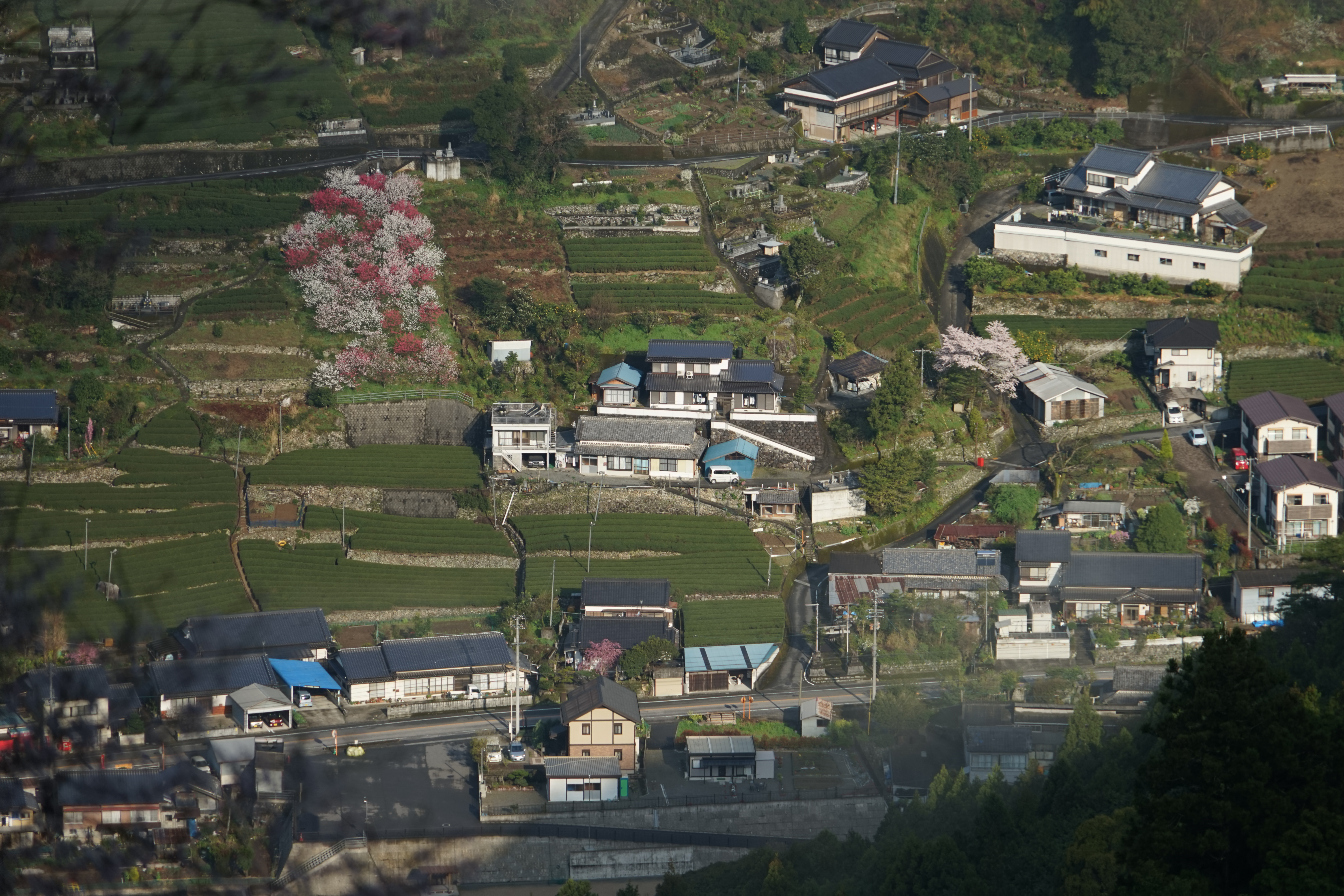
| Description | 桜から見おろした田村地区 | ||
| Date | Taken on 2 April 2015 | ||
| Source | https://web.archive.org/web/20161031102207/http://www.panoramio.com/photo/124203720 | ||
| Author | r18 INO (PACHIMO) | ||
| Permission (Reusing this file) |
This file is licensed under the Creative Commons Attribution 3.0 Unported license. Attribution: r18 INO (PACHIMO)
|
||
| Panoramio Tags | Niyodogawa |
| Camera location | | View this and other nearby images on: OpenStreetMap |
|---|
File history
Click on a date/time to view the file as it appeared at that time.
| Date/Time | Thumbnail | Dimensions | User | Comment | |
|---|---|---|---|---|---|
| current | 13:50, 18 June 2017 | | 6,000 × 4,000 (6.52 MB) | Panoramio upload bot (talk | contribs) | == {{int:filedesc}} == {{Information |description=桜から見おろした田村地区 |date={{Taken on|2015-04-02}} |source=http://www.panoramio.com/photo/124203720 |author=[http://www.panoramio.com/user/1770756?with_photo_id=124203720 r18 INO (PACHIM... |
You cannot overwrite this file.
File usage on Commons
There are no pages that use this file.