File:水口岡山城 - panoramio.jpg

Size of this preview: 800 × 540 pixels. Other resolutions: 320 × 216 pixels | 640 × 432 pixels | 1,024 × 691 pixels | 1,280 × 863 pixels | 2,560 × 1,727 pixels | 3,368 × 2,272 pixels.
Original file (3,368 × 2,272 pixels, file size: 1.66 MB, MIME type: image/jpeg)
Captions
Captions
Add a one-line explanation of what this file represents
Summary
edit
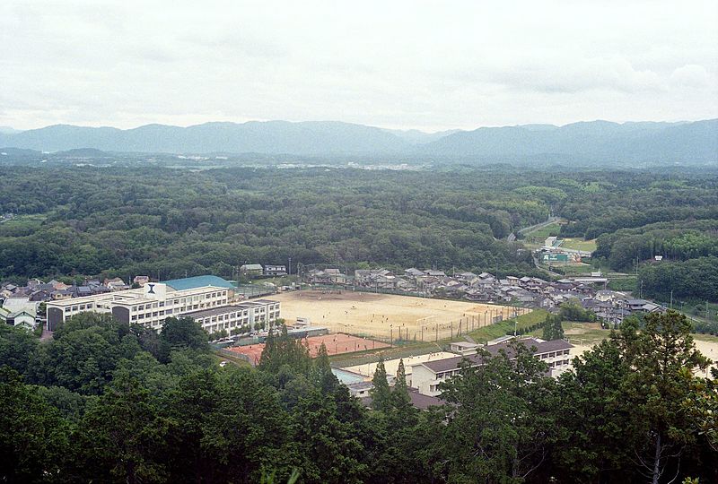
| Description | 水口岡山城。左側は滋賀県立水口東中学校・高等学校、右側は甲賀市立城山中学校 | ||
| Date | Taken on 12 July 2014 | ||
| Source | https://web.archive.org/web/20161028011831/http://www.panoramio.com/photo/109196947 | ||
| Author | shikabane taro | ||
| Permission (Reusing this file) |
This file is licensed under the Creative Commons Attribution 3.0 Unported license. Attribution: shikabane taro
|
||
| Tags (from Panoramio photo page) | Koka, 甲賀散歩 |
| Camera location | | View this and other nearby images on: OpenStreetMap |
|---|
File history
Click on a date/time to view the file as it appeared at that time.
| Date/Time | Thumbnail | Dimensions | User | Comment | |
|---|---|---|---|---|---|
| current | 17:38, 14 April 2017 | | 3,368 × 2,272 (1.66 MB) | Panoramio upload bot (talk | contribs) | == {{int:filedesc}} == {{Information |description=水口岡山城 |date={{Taken on|2014-07-12}} |source=http://www.panoramio.com/photo/109196947 |author=[http://www.panoramio.com/user/3658107?with_photo_id=109196947 shikabane taro] |permission={{cc-by-... |
You cannot overwrite this file.
File usage on Commons
There are no pages that use this file.
File usage on other wikis
The following other wikis use this file:
- Usage on ja.wikipedia.org