File:玉垒山-流浪的狗狗 - panoramio.jpg

Size of this preview: 800 × 444 pixels. Other resolutions: 320 × 177 pixels | 640 × 355 pixels | 997 × 553 pixels.
Original file (997 × 553 pixels, file size: 682 KB, MIME type: image/jpeg)
Captions
Captions
Add a one-line explanation of what this file represents
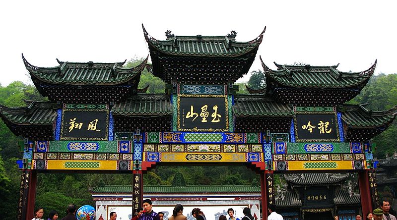
| Description | 玉垒山-流浪的狗狗 | ||
| Date | 9 November 2008 (original upload date) | ||
| Source | https://web.archive.org/web/20161118202006/http://www.panoramio.com/photo/15834701 | ||
| Author | aisccd | ||
| Permission (Reusing this file) |
This file is licensed under the Creative Commons Attribution 3.0 Unported license. Attribution: aisccd
|
| Camera location | | View this and other nearby images on: OpenStreetMap |
|---|
File history
Click on a date/time to view the file as it appeared at that time.
| Date/Time | Thumbnail | Dimensions | User | Comment | |
|---|---|---|---|---|---|
| current | 07:44, 26 August 2016 | | 997 × 553 (682 KB) | Panoramio upload bot (talk | contribs) | {{Information |description=玉垒山-流浪的狗狗 |date={{Original upload date|2008-11-09}} |source=http://www.panoramio.com/photo/15834701 |author=[http://www.panoramio.com/user/1148476?with_photo_id=15834701 aisccd] |permission={{cc-by-3.0|aisccd}... |
You cannot overwrite this file.
File usage on Commons
There are no pages that use this file.