File:田束山 512.38m - panoramio.jpg
Size of this preview: 800 × 374 pixels. Other resolutions: 320 × 150 pixels | 640 × 299 pixels | 1,024 × 479 pixels | 1,280 × 599 pixels | 2,560 × 1,198 pixels | 5,053 × 2,364 pixels.
Original file (5,053 × 2,364 pixels, file size: 4.53 MB, MIME type: image/jpeg)
Captions
Captions
Add a one-line explanation of what this file represents
Summary
edit
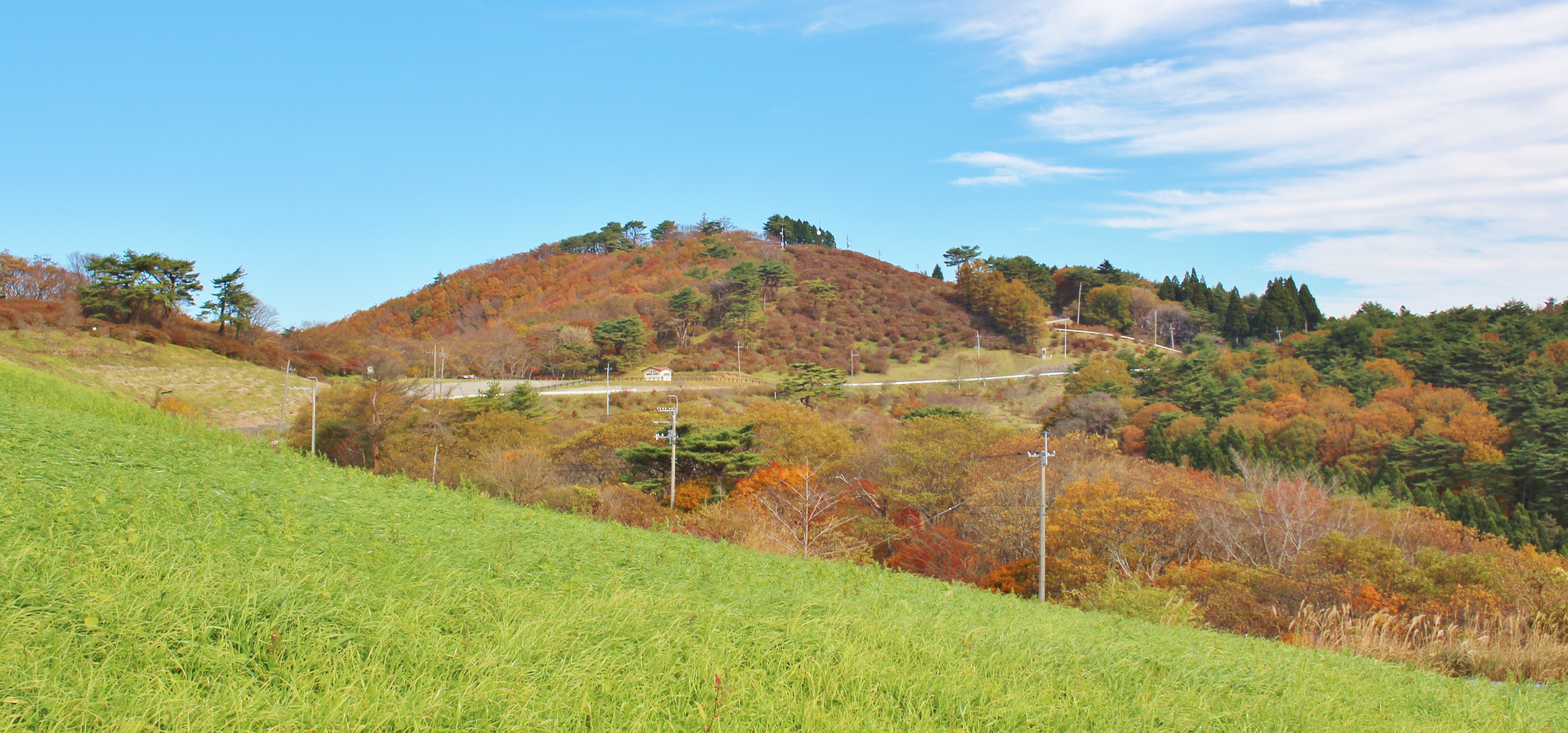
| Description | 田束山 512.38m | ||
| Date | Taken on 5 November 2014 | ||
| Source | https://web.archive.org/web/20161031083913/http://www.panoramio.com/photo/115945745 | ||
| Author | Yoshio Kohara | ||
| Permission (Reusing this file) |
This file is licensed under the Creative Commons Attribution 3.0 Unported license. Attribution: Yoshio Kohara
|
||
| Panoramio Tags | Minamisanriku, Google Earth, Google Map, Miyagi 宮城県, 南三陸町 |
| Camera location | | View this and other nearby images on: OpenStreetMap |
|---|
File history
Click on a date/time to view the file as it appeared at that time.
| Date/Time | Thumbnail | Dimensions | User | Comment | |
|---|---|---|---|---|---|
| current | 13:11, 18 May 2017 | | 5,053 × 2,364 (4.53 MB) | Panoramio upload bot (talk | contribs) | == {{int:filedesc}} == {{Information |description=田束山 512.38m |date={{Taken on|2014-11-05}} |source=http://www.panoramio.com/photo/115945745 |author=[http://www.panoramio.com/user/1146018?with_photo_id=115945745 Yoshio Kohara] |permission={{cc-b... |
You cannot overwrite this file.
File usage on Commons
There are no pages that use this file.