File:磐越西線 - panoramio.jpg
Size of this preview: 800 × 536 pixels. Other resolutions: 320 × 214 pixels | 640 × 428 pixels | 1,024 × 685 pixels | 1,280 × 857 pixels | 1,600 × 1,071 pixels.
Original file (1,600 × 1,071 pixels, file size: 232 KB, MIME type: image/jpeg)
Captions
Captions
Add a one-line explanation of what this file represents
Summary
edit
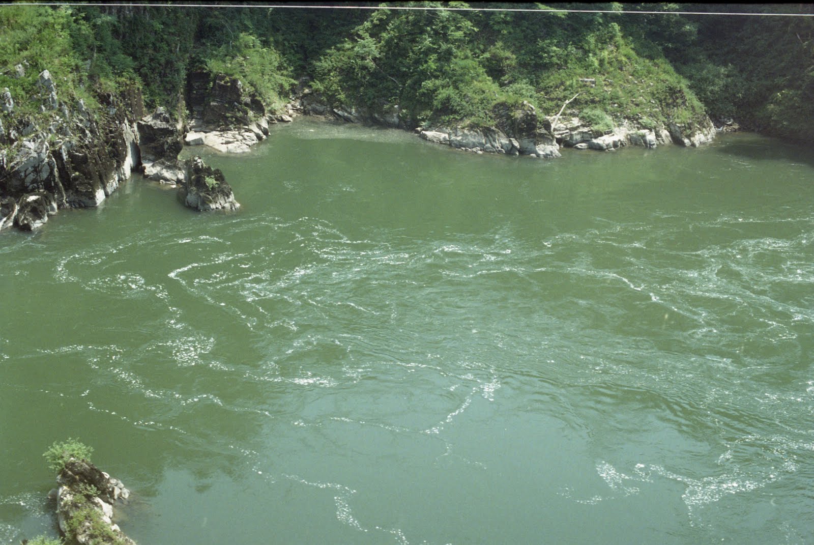
| Description | 磐越西線 | ||
| Date | Taken on 27 November 2010 | ||
| Source | https://web.archive.org/web/20161017050959/http://www.panoramio.com/photo/44264339 | ||
| Author | shikabane taro | ||
| Permission (Reusing this file) |
This file is licensed under the Creative Commons Attribution 3.0 Unported license. Attribution: shikabane taro
|
||
| Tags (from Panoramio photo page) | Nishiaizu, みちのおく |
| Camera location | | View this and other nearby images on: OpenStreetMap |
|---|
File history
Click on a date/time to view the file as it appeared at that time.
| Date/Time | Thumbnail | Dimensions | User | Comment | |
|---|---|---|---|---|---|
| current | 08:00, 19 November 2016 | | 1,600 × 1,071 (232 KB) | Panoramio upload bot (talk | contribs) | == {{int:filedesc}} == {{Information |description=磐越西線 |date={{Taken on|2010-11-27}} |source=http://www.panoramio.com/photo/44264339 |author=[http://www.panoramio.com/user/3658107?with_photo_id=44264339 shikabane taro] |permission={{cc-by-3.0|s... |
You cannot overwrite this file.
File usage on Commons
There are no pages that use this file.