File:红城湖 - Hongcheng Lake - 2016.01 - panoramio.jpg

Size of this preview: 800 × 600 pixels. Other resolutions: 320 × 240 pixels | 640 × 480 pixels | 1,024 × 768 pixels | 1,280 × 960 pixels | 2,560 × 1,920 pixels | 4,000 × 3,000 pixels.
Original file (4,000 × 3,000 pixels, file size: 1.84 MB, MIME type: image/jpeg)
Captions
Captions
Add a one-line explanation of what this file represents
Summary edit
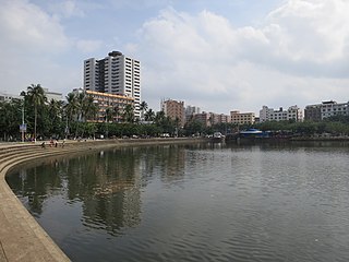
| Description | 红城湖 - Hongcheng Lake - 2016.01 | ||
| Date | Taken on 9 January 2016 | ||
| Source | https://web.archive.org/web/20161103001637/http://www.panoramio.com/photo/127272675 | ||
| Author | rheins | ||
| Permission (Reusing this file) |
This file is licensed under the Creative Commons Attribution 3.0 Unported license. Attribution: rheins
|
||
| Panoramio Tags | Haikou, 海南 - Hainan Province |
| Camera location | | View this and other nearby images on: OpenStreetMap |
|---|
File history
Click on a date/time to view the file as it appeared at that time.
| Date/Time | Thumbnail | Dimensions | User | Comment | |
|---|---|---|---|---|---|
| current | 10:25, 22 June 2017 | | 4,000 × 3,000 (1.84 MB) | Panoramio upload bot (talk | contribs) | == {{int:filedesc}} == {{Information |description=红城湖 - Hongcheng Lake - 2016.01 |date={{Taken on|2016-01-09}} |source=http://www.panoramio.com/photo/127272675 |author=[http://www.panoramio.com/user/5226993?with_photo_id=127272675 rheins] |permis... |
You cannot overwrite this file.
File usage on Commons
The following page uses this file:
File usage on other wikis
The following other wikis use this file:
- Usage on ceb.wikipedia.org
- Usage on es.wikipedia.org
- Usage on eu.wikipedia.org
- Usage on fr.wikipedia.org
- Usage on ko.wikipedia.org
- Usage on pt.wikipedia.org
- Usage on ru.wikipedia.org
- Usage on www.wikidata.org