File:通往勒西错 - Path to Lexi Lake - 2012.10 - panoramio.jpg

Size of this preview: 800 × 600 pixels. Other resolutions: 320 × 240 pixels | 640 × 480 pixels | 1,024 × 768 pixels | 1,280 × 960 pixels | 2,560 × 1,920 pixels | 3,200 × 2,400 pixels.
Original file (3,200 × 2,400 pixels, file size: 2.69 MB, MIME type: image/jpeg)
Captions
Captions
Add a one-line explanation of what this file represents
Summary
edit
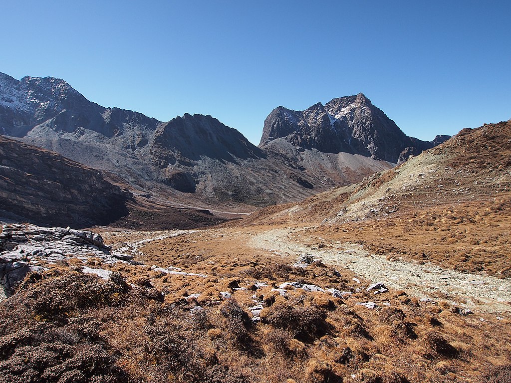
| Description | 通往勒西错 - Path to Lexi Lake - 2012.10 | ||
| Date | Taken on 24 October 2012 | ||
| Source | https://web.archive.org/web/20161025094316/http://www.panoramio.com/photo/83306119 | ||
| Author | rheins | ||
| Permission (Reusing this file) |
This file is licensed under the Creative Commons Attribution 3.0 Unported license. Attribution: rheins
|
||
| Tags (from Panoramio photo page) | Garze, 甘孜州 - Garze Prefecture |
| Camera location | | View this and other nearby images on: OpenStreetMap |
|---|
File history
Click on a date/time to view the file as it appeared at that time.
| Date/Time | Thumbnail | Dimensions | User | Comment | |
|---|---|---|---|---|---|
| current | 01:33, 8 February 2017 | | 3,200 × 2,400 (2.69 MB) | Panoramio upload bot (talk | contribs) | == {{int:filedesc}} == {{Information |description=通往勒西错 - Path to Lexi Lake - 2012.10 |date={{Taken on|2012-10-24}} |source=http://www.panoramio.com/photo/83306119 |author=[http://www.panoramio.com/user/5226993?with_photo_id=83306119 rheins]... |
You cannot overwrite this file.
File usage on Commons
There are no pages that use this file.