File:野洲川ダム - panoramio.jpg
Size of this preview: 800 × 600 pixels. Other resolutions: 320 × 240 pixels | 640 × 480 pixels | 1,024 × 768 pixels | 1,280 × 960 pixels | 2,048 × 1,536 pixels.
Original file (2,048 × 1,536 pixels, file size: 449 KB, MIME type: image/jpeg)
Captions
Captions
Add a one-line explanation of what this file represents
Summary
edit
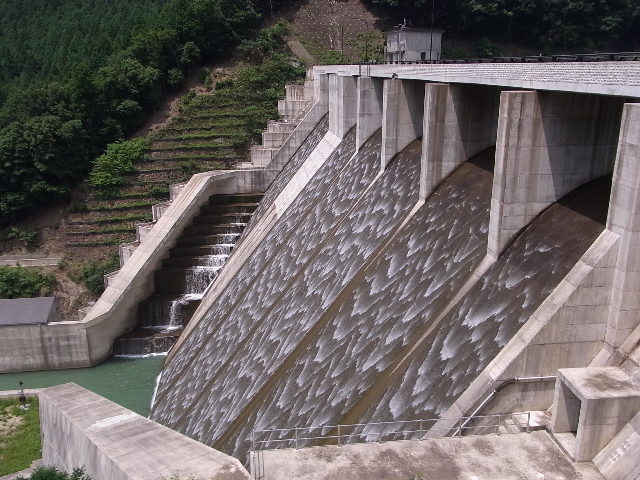
| Description | 野洲川ダム | ||
| Date | Taken on 15 July 2012 | ||
| Source | https://web.archive.org/web/20161026003557/http://www.panoramio.com/photo/75466418 | ||
| Author | full moon69 | ||
| Permission (Reusing this file) |
This file is licensed under the Creative Commons Attribution 3.0 Unported license. Attribution: full moon69
|
||
| Tags (from Panoramio photo page) | Koka, mie, 三重県 |
| Camera location | | View this and other nearby images on: OpenStreetMap |
|---|
File history
Click on a date/time to view the file as it appeared at that time.
| Date/Time | Thumbnail | Dimensions | User | Comment | |
|---|---|---|---|---|---|
| current | 16:06, 7 January 2017 | | 2,048 × 1,536 (449 KB) | Panoramio upload bot (talk | contribs) | == {{int:filedesc}} == {{Information |description=野洲川ダム |date={{Taken on|2012-07-15}} |source=http://www.panoramio.com/photo/75466418 |author=[http://www.panoramio.com/user/2962305?with_photo_id=75466418 full moon69] |permission={{cc-by-3.0|f... |
You cannot overwrite this file.
File usage on Commons
The following page uses this file:
File usage on other wikis
The following other wikis use this file:
- Usage on ceb.wikipedia.org
- Usage on en.wikipedia.org
- Usage on ja.wikipedia.org
- Usage on www.wikidata.org