File:속초 16년 일출 - panoramio (2).jpg

Size of this preview: 800 × 450 pixels. Other resolutions: 320 × 180 pixels | 640 × 360 pixels | 1,024 × 576 pixels | 1,280 × 720 pixels | 2,560 × 1,440 pixels | 5,312 × 2,988 pixels.
Original file (5,312 × 2,988 pixels, file size: 2.17 MB, MIME type: image/jpeg)
Captions
Captions
Add a one-line explanation of what this file represents
Summary
edit.jpg&action=edit§ion=1)
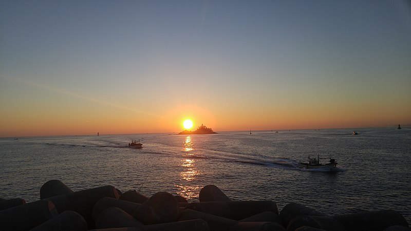
| Description | 속초 16년 일출 | ||
| Date | Taken on 1 January 2016 | ||
| Source | https://web.archive.org/web/20161102000701/http://www.panoramio.com/photo/129812558 | ||
| Author | Seongrae Kim | ||
| Permission (Reusing this file) |
This file is licensed under the Creative Commons Attribution 3.0 Unported license. Attribution: Seongrae Kim
|
||
| Panoramio Tags | Sokcho-si |
| Camera location | | View this and other nearby images on: OpenStreetMap |
|---|
.jpg¶ms=038.203477_N_0128.603167_E_globe:Earth_type:camera_source:Panoramio_&language=en)
File history
Click on a date/time to view the file as it appeared at that time.
| Date/Time | Thumbnail | Dimensions | User | Comment | |
|---|---|---|---|---|---|
| current | 18:01, 4 July 2017 | | 5,312 × 2,988 (2.17 MB) | Panoramio upload bot (talk | contribs) | == {{int:filedesc}} == {{Information |description=속초 16년 일출 |date={{Taken on|2016-01-01}} |source=http://www.panoramio.com/photo/129812558 |author=[http://www.panoramio.com/user/9096624?with_photo_id=129812558 Seongrae Kim] |permission={{cc-b... |
You cannot overwrite this file.
File usage on Commons
The following 3 pages use this file:
File usage on other wikis
The following other wikis use this file:
.jpg&oldid=762714901)