File:(Toulouse) - Immeuble 42 Boulevard de Strasbourg - Pierre Dac - Plaque.jpg

Size of this preview: 789 × 600 pixels. Other resolutions: 316 × 240 pixels | 632 × 480 pixels | 1,010 × 768 pixels | 1,280 × 973 pixels | 2,560 × 1,946 pixels | 3,240 × 2,463 pixels.
Original file (3,240 × 2,463 pixels, file size: 8.4 MB, MIME type: image/jpeg)
Captions
Captions
Add a one-line explanation of what this file represents
Summary edit
|
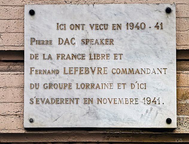
Immeuble 42 Boulevard de Strasbourg Commemorative plaque | |||||||||||||||||
|
| |||||||||||||||||

_-_Immeuble_42_Boulevard_de_Strasbourg_-_Pierre_Dac.jpg)
_-_Immeuble_42_Boulevard_de_Strasbourg_-_Pierre_Dac_-_Plaque.jpg)
_-_Immeuble_42_Boulevard_de_Strasbourg_-_Pierre_Dac_-_Plaque.jpg&action=edit§ion=1)
_-_Immeuble_42_Boulevard_de_Strasbourg_-_Pierre_Dac_-_Plaque.jpg)
_-_Immeuble_42_Boulevard_de_Strasbourg_-_Pierre_Dac_-_Plaque.jpg¶ms=043.608849_N_0001.445550_E_globe:Earth_type:camera_alt:192.29_source:exif_&language=en)
File history
Click on a date/time to view the file as it appeared at that time.
| Date/Time | Thumbnail | Dimensions | User | Comment | |
|---|---|---|---|---|---|
| current | 20:10, 13 January 2021 | | 3,240 × 2,463 (8.4 MB) | Archaeodontosaurus (talk | contribs) | {{Information |Description= |Source={{own}} |Date= |Author= Archaeodontosaurus |Permission= |other_versions= }} |
You cannot overwrite this file.
File usage on Commons
The following 5 pages use this file:
- User talk:Archaeodontosaurus/De janvier 2021 à juillet 2021
- Commons:Valued image candidates/(Toulouse) - Immeuble 42 Boulevard de Strasbourg - Pierre Dac - Plaque.jpg
- Commons:Valued images by topic/Works of art/Statues, monuments and plaques
- File:(Toulouse) - Immeuble 42 Boulevard de Strasbourg - Pierre Dac.jpg
- File:(Toulouse) - Immeuble 42 Boulevard de Strasbourg - Pierre Dac - Plaque.jpg
File usage on other wikis
The following other wikis use this file:
- Usage on fr.wikipedia.org
_-_Immeuble_42_Boulevard_de_Strasbourg_-_Pierre_Dac_-_Plaque.jpg&oldid=748940640)