File:0019Ga. Река Рощинка в заказнике "Линдуловская роща".jpg

Size of this preview: 800 × 572 pixels. Other resolutions: 320 × 229 pixels | 640 × 457 pixels | 1,024 × 732 pixels | 1,280 × 914 pixels | 2,560 × 1,829 pixels | 4,604 × 3,289 pixels.
Original file (4,604 × 3,289 pixels, file size: 5.53 MB, MIME type: image/jpeg)
Captions
Captions
Add a one-line explanation of what this file represents
Summary edit
| Description |
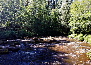
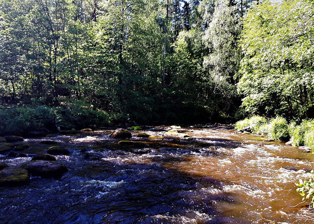
Русский: Река Рощинка в заказнике "Линдуловская роща": Рощино, Выборгский район, Ленинградская область.
English: The Roshchinka River in the Lindulovskaya Grove Nature Reserve: Roshchino, Vyborgsky District, Leningrad Region. |
| Date | |
| Source | Own work |
| Author | Александровы АГ |
| Camera location | | View this and other nearby images on: OpenStreetMap |
|---|
Licensing edit
I, the copyright holder of this work, hereby publish it under the following license:
This file is licensed under the Creative Commons Attribution-Share Alike 4.0 International license.
- You are free:
- to share – to copy, distribute and transmit the work
- to remix – to adapt the work
- Under the following conditions:
- attribution – You must give appropriate credit, provide a link to the license, and indicate if changes were made. You may do so in any reasonable manner, but not in any way that suggests the licensor endorses you or your use.
- share alike – If you remix, transform, or build upon the material, you must distribute your contributions under the same or compatible license as the original.
File history
Click on a date/time to view the file as it appeared at that time.
| Date/Time | Thumbnail | Dimensions | User | Comment | |
|---|---|---|---|---|---|
| current | 21:57, 25 May 2023 | | 4,604 × 3,289 (5.53 MB) | Александровы АГ (talk | contribs) | Uploaded own work with UploadWizard |
You cannot overwrite this file.
File usage on Commons
There are no pages that use this file.