File:01-Ain-département-fr-carte-A2.svg

Size of this PNG preview of this SVG file: 660 × 599 pixels. Other resolutions: 264 × 240 pixels | 529 × 480 pixels | 846 × 768 pixels | 1,128 × 1,024 pixels | 2,255 × 2,048 pixels | 664 × 603 pixels.
Original file (SVG file, nominally 664 × 603 pixels, file size: 207 KB)
Captions
Captions
Add a one-line explanation of what this file represents
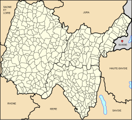
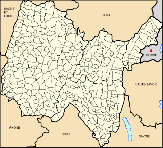
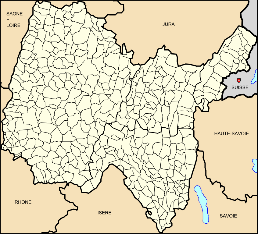
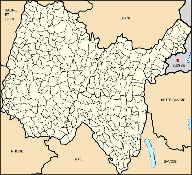
| Description | Carte 01 Ain département fr carte Administrative communale | ||||
| Date | |||||
| Source | Own work based on: Modèle:Géolocalisation/Ain | ||||
| Author | Wikisoft* 11:06, 18 January 2013 (UTC) | ||||
| Permission (Reusing this file) |
|
||||
| Other versions | Category:Ain; Category:Election maps of Ain | ||||
| SVG development |

File history
Click on a date/time to view the file as it appeared at that time.
| Date/Time | Thumbnail | Dimensions | User | Comment | |
|---|---|---|---|---|---|
| current | 11:06, 18 January 2013 | | 664 × 603 (207 KB) | Wikisoft* (talk | contribs) | {{Information |Description=Carte 01 Ain département fr carte Administrative communale |*fr:Modèle:Géolocalisation/Ain |Source=Travail personnel |{{Atelier graphique carte}} |Date=18/01/2012 |Author=~~~~ |Permission={{GFDL-GMT}} |other_versi... |
You cannot overwrite this file.
File usage on Commons
The following page uses this file: