File:02 Карта ставропольского ведомства.jpg

Size of this preview: 800 × 600 pixels. Other resolutions: 320 × 240 pixels | 640 × 480 pixels | 1,024 × 768 pixels | 1,280 × 960 pixels | 2,560 × 1,920 pixels | 10,880 × 8,160 pixels.
Original file (10,880 × 8,160 pixels, file size: 8.36 MB, MIME type: image/jpeg)
Captions
Captions
Add a one-line explanation of what this file represents
Summary
edit
| Warning | The original file is very high-resolution. It might not load properly or could cause your browser to freeze when opened at full size. |
|---|
| Description |
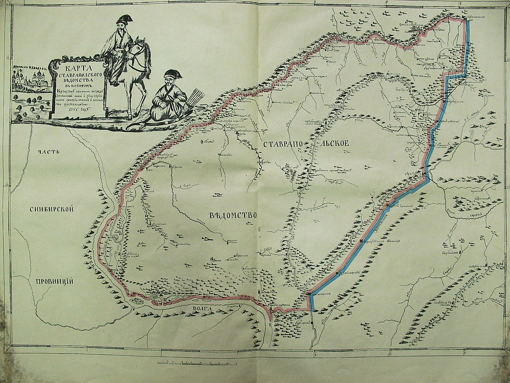
Русский: Карта земель Ставропольского калмыцкого казачьего войска в 1755 году |
| Date | |
| Source | Карта земель Ставропольского калмыцкого казачьего войска в 1755 году |
| Author | Unknown author |
Licensing
edit
|
This work is in the public domain in its country of origin and other countries and areas where the copyright term is the author's life plus 100 years or fewer. | |
| This file has been identified as being free of known restrictions under copyright law, including all related and neighboring rights. | |
Original upload log
edit
The original description page was here. All following user names refer to ru.wikipedia.
| Date/Time | Dimensions | User | Comment |
|---|---|---|---|
| 2015-09-24 17:45 | 10880×8160× (8767632 bytes) | Сторожевой казак | {{Изображение | описание = Ландкартв Ставропольского калмыцкого казачьего войска | источник = Ландкарты или чертежи географические,… |
File history
Click on a date/time to view the file as it appeared at that time.
| Date/Time | Thumbnail | Dimensions | User | Comment | |
|---|---|---|---|---|---|
| current | 15:34, 19 April 2016 | | 10,880 × 8,160 (8.36 MB) | Glovacki (talk | contribs) | Transferred from ru.wikipedia |
You cannot overwrite this file.
File usage on Commons
There are no pages that use this file.
File usage on other wikis
The following other wikis use this file:
- Usage on ru.wikipedia.org
- Usage on tt.wikipedia.org