File:04L Geostationary VIS-IR 2021.png
Size of this preview: 600 × 600 pixels. Other resolutions: 240 × 240 pixels | 480 × 480 pixels | 768 × 768 pixels | 1,024 × 1,024 pixels | 1,600 × 1,600 pixels.
Original file (1,600 × 1,600 pixels, file size: 449 KB, MIME type: image/png)
Captions
Captions
Add a one-line explanation of what this file represents
Summary
edit
| Description |
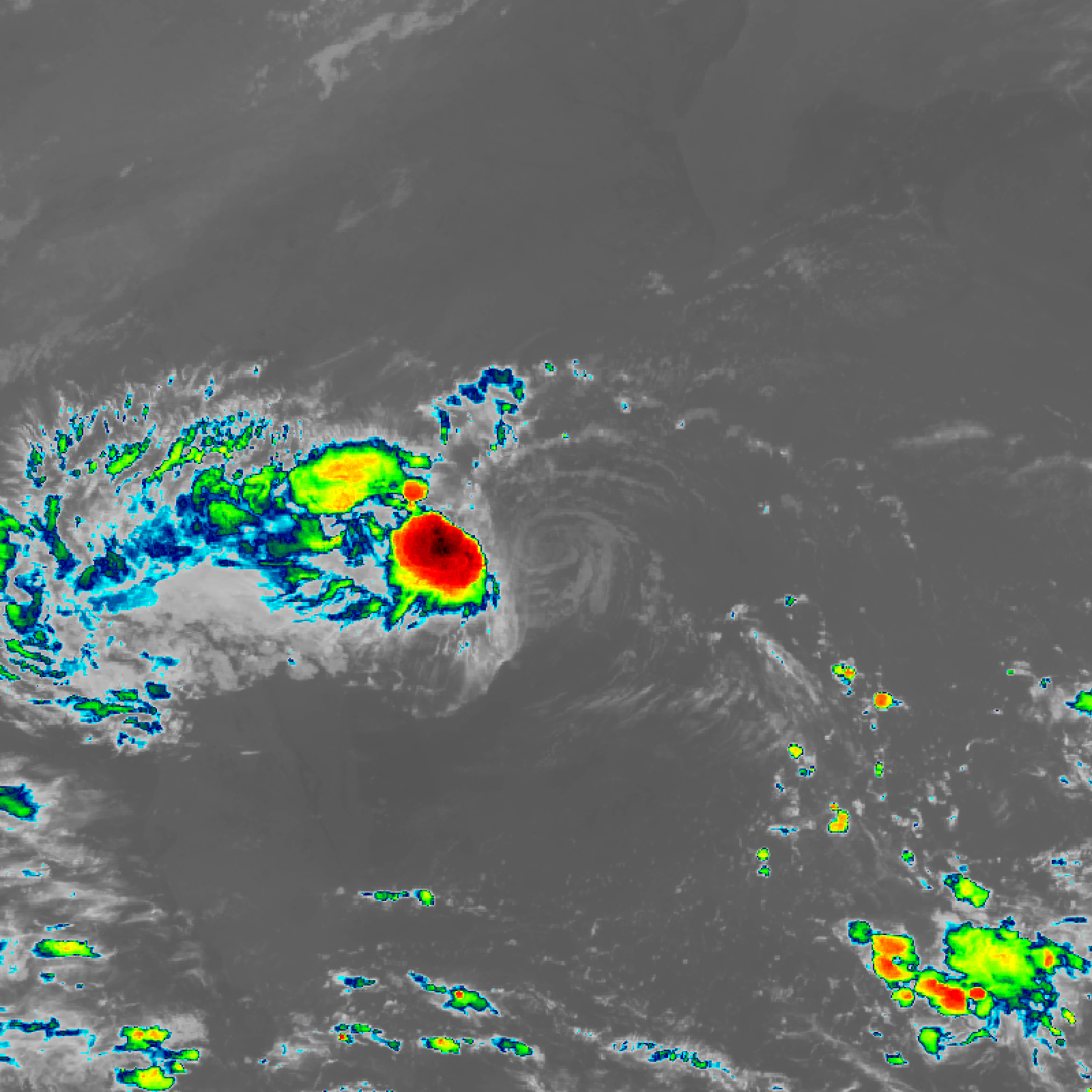
English: Six-hour Geostationary imagery of Tropical Storm Danny (04L) of the 2021 Atlantic hurricane season. |
| Date | |
| Source | EOSDIS Worldview (https://worldview.earthdata.nasa.gov/) |
| Author | The National Aeronautics and Space Administration (NASA) |
Licensing
edit
| This file is in the public domain in the United States because it was solely created by NASA. NASA copyright policy states that "NASA material is not protected by copyright unless noted". (See Template:PD-USGov, NASA copyright policy page or JPL Image Use Policy.) | ||
 |
Warnings:
|
File history
Click on a date/time to view the file as it appeared at that time.
| Date/Time | Thumbnail | Dimensions | User | Comment | |
|---|---|---|---|---|---|
| current | 22:31, 28 June 2021 | | 1,600 × 1,600 (449 KB) | CooperScience (talk | contribs) | Uploaded a work by The National Aeronautics and Space Administration (NASA) from EOSDIS Worldview (https://worldview.earthdata.nasa.gov/) with UploadWizard |
You cannot overwrite this file.
File usage on Commons
There are no pages that use this file.