File:12-Schleierfall-O.jpg

Size of this preview: 400 × 599 pixels. Other resolutions: 160 × 240 pixels | 320 × 480 pixels | 513 × 768 pixels | 684 × 1,024 pixels | 1,368 × 2,048 pixels | 2,832 × 4,240 pixels.
Original file (2,832 × 4,240 pixels, file size: 8.35 MB, MIME type: image/jpeg)
Captions
Captions
Add a one-line explanation of what this file represents
Summary edit
![]() Austria
Austria ![]() Land Tirol - Tuxer Alpen 1.908 m ü. A.
Land Tirol - Tuxer Alpen 1.908 m ü. A.
| Description |
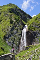
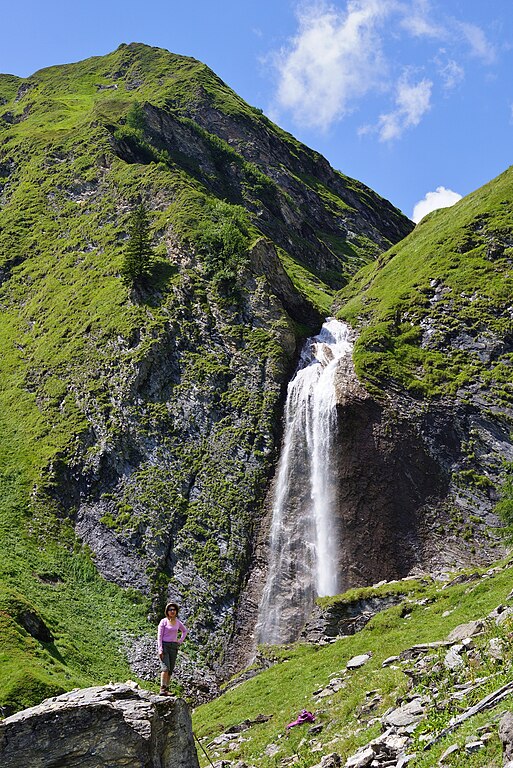
Deutsch: Der Schleierfall bei Hintertux von Osten (Weg ins Weitental) |
| Date | Taken on 8 August 2012, 13:08:12 |
| Source | Own work |
| Author | FkMohr |
| Permission (Reusing this file) |
Abgebildete Person mit Veröffentlichung einverstanden. |
| Camera location | | View this and other nearby images on: OpenStreetMap |
|---|
T {BF120808-1308}
Licensing edit
Friedrich-Karl Mohr, the copyright holder of this work, hereby publishes it under the following license:
This file is licensed under the Creative Commons Attribution-Share Alike 3.0 Germany license.
Attribution: Friedrich-Karl Mohr
- You are free:
- to share – to copy, distribute and transmit the work
- to remix – to adapt the work
- Under the following conditions:
- attribution – You must give appropriate credit, provide a link to the license, and indicate if changes were made. You may do so in any reasonable manner, but not in any way that suggests the licensor endorses you or your use.
- share alike – If you remix, transform, or build upon the material, you must distribute your contributions under the same or compatible license as the original.

File history
Click on a date/time to view the file as it appeared at that time.
| Date/Time | Thumbnail | Dimensions | User | Comment | |
|---|---|---|---|---|---|
| current | 17:22, 21 April 2022 | | 2,832 × 4,240 (8.35 MB) | FkMohr (talk | contribs) | Uploaded own work with UploadWizard |
You cannot overwrite this file.
File usage on Commons
The following 2 pages use this file: