File:15 N-O Me Kropsort.jpg
Size of this preview: 253 × 599 pixels. Other resolutions: 101 × 240 pixels | 588 × 1,392 pixels.
Original file (588 × 1,392 pixels, file size: 802 KB, MIME type: image/jpeg)
Captions
Captions
Add a one-line explanation of what this file represents
Summary
edit
| Description |
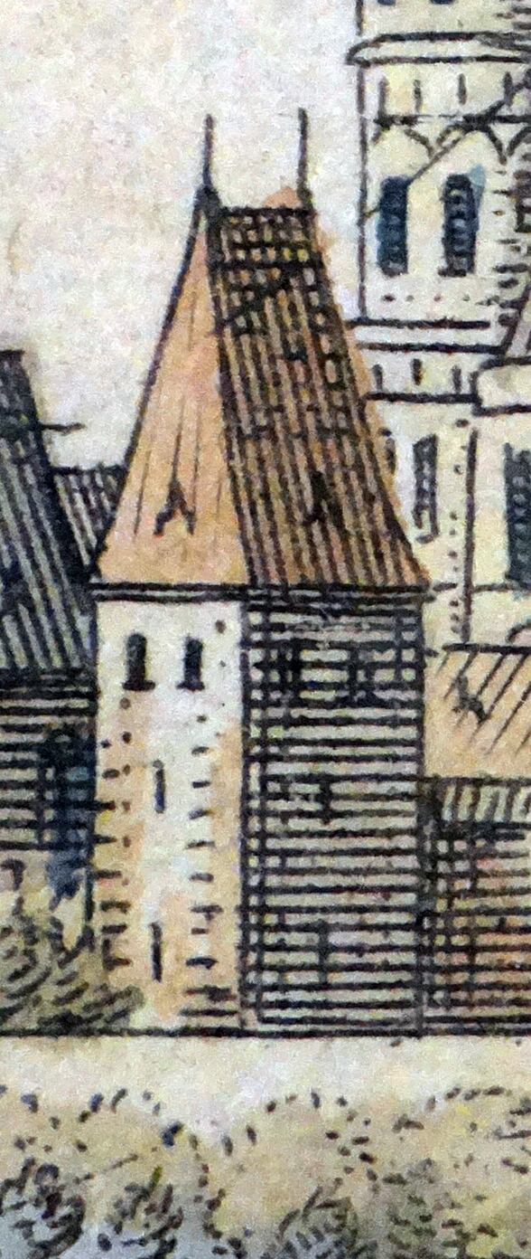
Deutsch: Kropsort, Worms. Detail aus: Matthäus Merian: Topographia Palatinus Rheni et Vicinarum Regionum. Hoffmann, Frankfurt 1645, Tafel zwischen S. 96 u. 97. Stadtarchiv Worms: Abt. 217 Nr. 1495. |
| Date | |
| Source | Own work |
| Author | Reinhard Dietrich |
| Camera location | | View this and other nearby images on: OpenStreetMap |
|---|
Licensing
edit
I, the copyright holder of this work, hereby publish it under the following license:
This file is licensed under the Creative Commons Attribution-Share Alike 4.0 International license.
- You are free:
- to share – to copy, distribute and transmit the work
- to remix – to adapt the work
- Under the following conditions:
- attribution – You must give appropriate credit, provide a link to the license, and indicate if changes were made. You may do so in any reasonable manner, but not in any way that suggests the licensor endorses you or your use.
- share alike – If you remix, transform, or build upon the material, you must distribute your contributions under the same or compatible license as the original.
File history
Click on a date/time to view the file as it appeared at that time.
| Date/Time | Thumbnail | Dimensions | User | Comment | |
|---|---|---|---|---|---|
| current | 14:26, 14 November 2019 | | 588 × 1,392 (802 KB) | Reinhard Dietrich (talk | contribs) | {{Information |description ={{de|1=Kropsort, Worms. Detail aus: Matthäus Merian: Topographia Palatinus Rheni et Vicinarum Regionum. Hoffmann, Frankfurt 1645, Tafel zwischen S. 96 u. 97. Stadtarchiv Worms: Abt. 217 Nr. 1495.}} |date =2019-11-11 |source ={{own}} |author =User:Reinhard Dietrich }} Category:Kropsort, Worms |
You cannot overwrite this file.
File usage on Commons
The following page uses this file: