File:1600 block of 17th Street, NW.JPG
Size of this preview: 782 × 600 pixels. Other resolutions: 313 × 240 pixels | 626 × 480 pixels | 1,001 × 768 pixels | 1,280 × 982 pixels | 2,560 × 1,964 pixels | 3,142 × 2,410 pixels.
Original file (3,142 × 2,410 pixels, file size: 2.82 MB, MIME type: image/jpeg)
Captions
Captions
Add a one-line explanation of what this file represents
| Description |
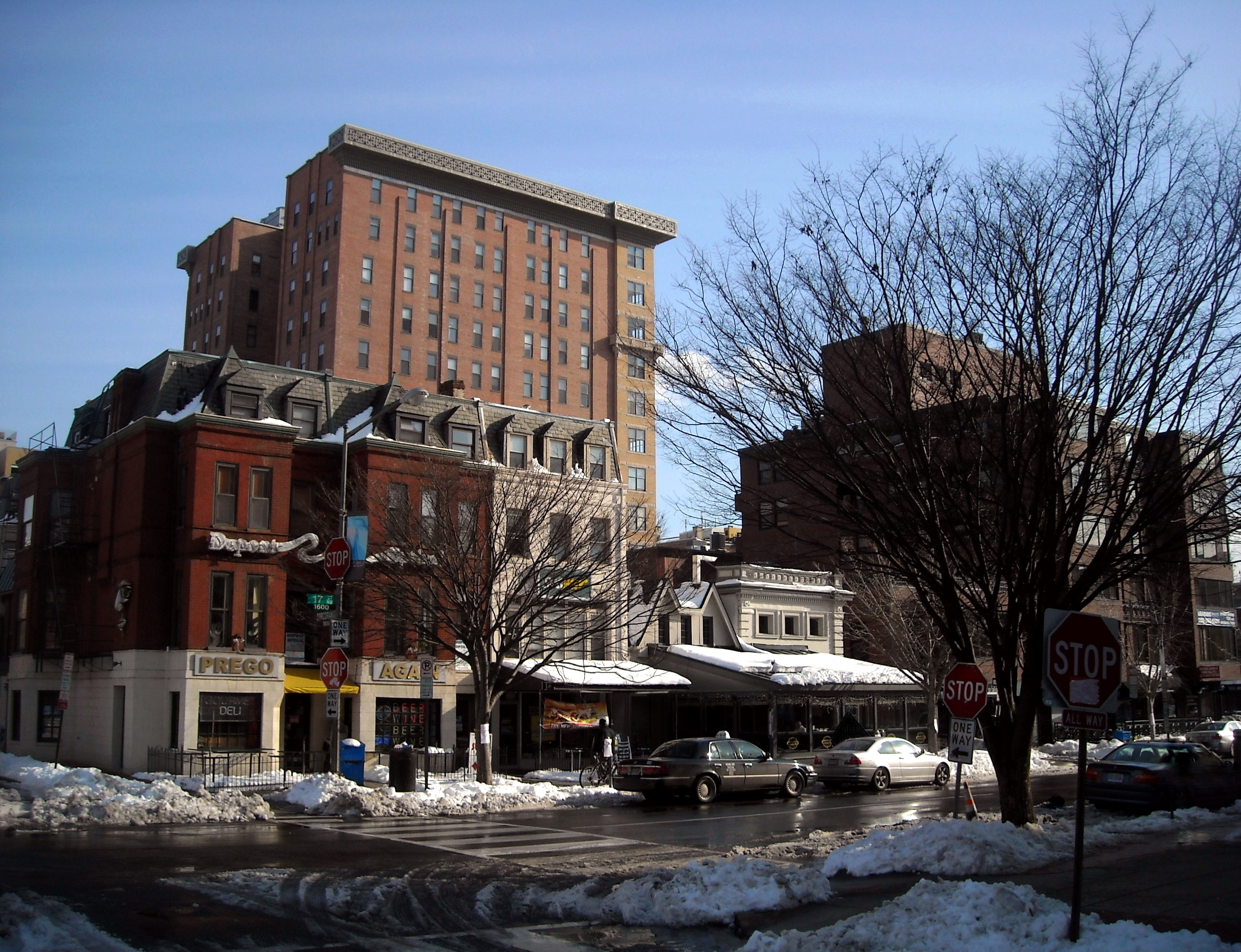
English: The intersection (southeast corner) of 17th Street and Corcoran Street, N.W., in the Dupont Circle neighborhood of Washington, D.C., three days after the North American blizzard of 2009. The Cairo Apartment Building, listed on the National Register of Historic Places, is visible in the background. |
| Date | |
| Source | Own work |
| Author | AgnosticPreachersKid |
| Permission (Reusing this file) |
I, the copyright holder of this work, hereby publish it under the following license: This file is licensed under the Creative Commons Attribution-Share Alike 3.0 Unported license.
|
| Camera location | | View this and other nearby images on: OpenStreetMap |
|---|
File history
Click on a date/time to view the file as it appeared at that time.
| Date/Time | Thumbnail | Dimensions | User | Comment | |
|---|---|---|---|---|---|
| current | 20:22, 23 December 2009 | | 3,142 × 2,410 (2.82 MB) | APK (talk | contribs) | {{Information |Description={{en|The intersection ''(southeast corner)'' of 17th Street and Corcoran Street, N.W., in the Dupont Circle neighborhood of [[:en:Washington, D.C.|Washi |
You cannot overwrite this file.
File usage on Commons
There are no pages that use this file.