File:1710 moll.jpg
Size of this preview: 800 × 491 pixels. Other resolutions: 320 × 196 pixels | 640 × 393 pixels | 1,024 × 628 pixels | 1,280 × 785 pixels | 2,560 × 1,571 pixels | 3,845 × 2,359 pixels.
Original file (3,845 × 2,359 pixels, file size: 11.03 MB, MIME type: image/jpeg)
Captions
Captions
Add a one-line explanation of what this file represents
Summary edit
| Description |
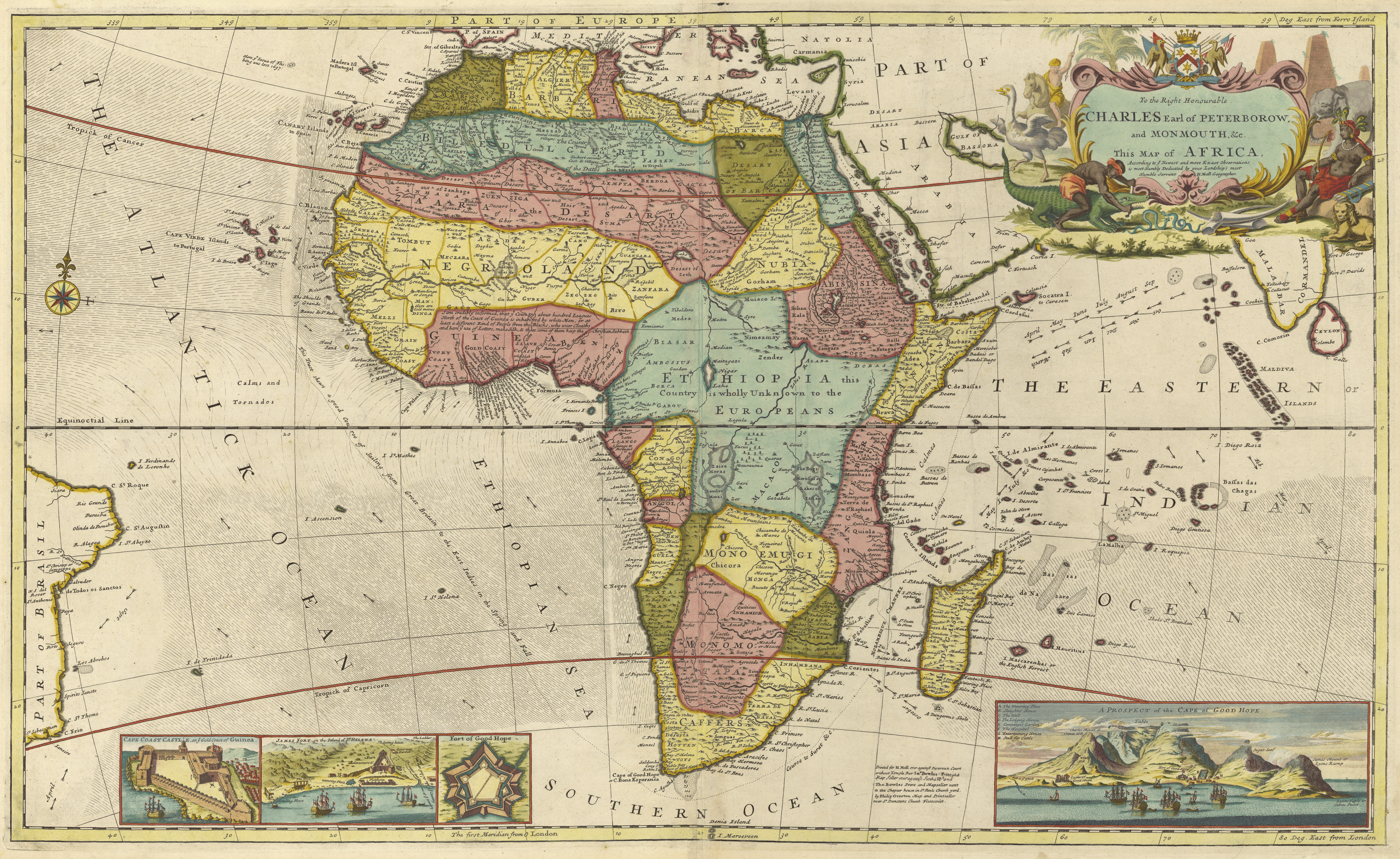
English: Early map of Africa depicting a region named Biafra |
| Date | |
| Source | http://libweb5.princeton.edu/visual_materials/maps/websites/africa/maps-continent/1710%20moll.jpg |
| Author | Herman Moll |
| Other versions |

Licensing edit
|
This work is in the public domain in its country of origin and other countries and areas where the copyright term is the author's life plus 70 years or fewer. This work is in the public domain in the United States because it was published (or registered with the U.S. Copyright Office) before January 1, 1929. | |
| This file has been identified as being free of known restrictions under copyright law, including all related and neighboring rights. | |
File history
Click on a date/time to view the file as it appeared at that time.
| Date/Time | Thumbnail | Dimensions | User | Comment | |
|---|---|---|---|---|---|
| current | 00:15, 12 July 2017 | | 3,845 × 2,359 (11.03 MB) | Captainda (talk | contribs) | User created page with UploadWizard |
You cannot overwrite this file.
File usage on Commons
The following 2 pages use this file:
File usage on other wikis
The following other wikis use this file:
- Usage on en.wikipedia.org
- Usage on fr.wikipedia.org
- Usage on ha.wikipedia.org
- Usage on mk.wikipedia.org
- Usage on yo.wikipedia.org