File:1780 map showing the area around the medieval fortress of and town of Klis.jpg

Size of this preview: 800 × 592 pixels. Other resolutions: 320 × 237 pixels | 640 × 473 pixels | 1,024 × 757 pixels | 1,280 × 947 pixels | 2,478 × 1,833 pixels.
Original file (2,478 × 1,833 pixels, file size: 1.01 MB, MIME type: image/jpeg)
Captions
Captions
Add a one-line explanation of what this file represents
Summary edit
| Description |
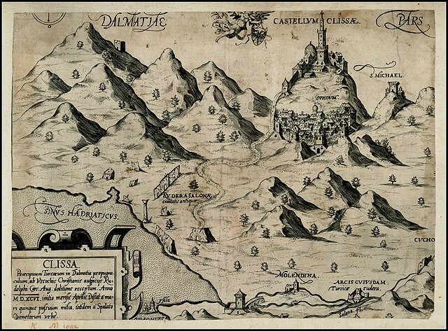
English: 1780 map howing the area around the medieval fortress of and town of Klis |
| Date | |
| Source | https://www.raremaps.com/gallery/detail/25068/clissa-praecipuum-turcarum-in-dalmatia-popugnaculum-ab-usc-anonymous |
| Author | Anonymous |
Licensing edit
|
This work is in the public domain in its country of origin and other countries and areas where the copyright term is the author's life plus 70 years or fewer. This work is in the public domain in the United States because it was published (or registered with the U.S. Copyright Office) before January 1, 1929. | |
| This file has been identified as being free of known restrictions under copyright law, including all related and neighboring rights. | |
File history
Click on a date/time to view the file as it appeared at that time.
| Date/Time | Thumbnail | Dimensions | User | Comment | |
|---|---|---|---|---|---|
| current | 15:10, 26 April 2020 | | 2,478 × 1,833 (1.01 MB) | Balkanique (talk | contribs) | Uploaded a work by Anonymous from https://www.raremaps.com/gallery/detail/25068/clissa-praecipuum-turcarum-in-dalmatia-popugnaculum-ab-usc-anonymous with UploadWizard |
You cannot overwrite this file.
File usage on Commons
The following page uses this file:
File usage on other wikis
The following other wikis use this file:
- Usage on fr.wikipedia.org
- Usage on hu.wikipedia.org