File:1822 map of Charleston Harbor, South Carolina.jpeg

Size of this preview: 338 × 599 pixels. Other resolutions: 135 × 240 pixels | 271 × 480 pixels | 433 × 768 pixels | 1,169 × 2,070 pixels.
Original file (1,169 × 2,070 pixels, file size: 431 KB, MIME type: image/jpeg)
Captions
Captions
Add a one-line explanation of what this file represents
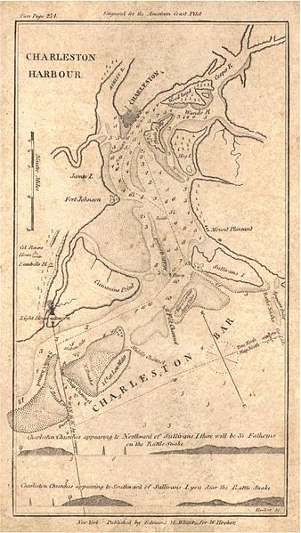
| Description | "Charleston Harbour" | ||||
| Date | |||||
| Source | Historical Maps of Alabama collection, University of Alabama Department of Geography | ||||
| Author | Edmund M. Blunt | ||||
| Permission (Reusing this file) |
|
||||
File history
Click on a date/time to view the file as it appeared at that time.
| Date/Time | Thumbnail | Dimensions | User | Comment | |
|---|---|---|---|---|---|
| current | 23:32, 17 December 2009 | | 1,169 × 2,070 (431 KB) | Spyder Monkey (talk | contribs) | {{Information |Description="Charleston Harbour" |Source=[http://alabamamaps.ua.edu/historicalmaps/us_states/southcarolina/index.html Historical Maps of Alabama collection], University of Alabama Department of Geography |Date=1822 |Author=Edmund M. Blunt | |
You cannot overwrite this file.
File usage on Commons
There are no pages that use this file.
File usage on other wikis
The following other wikis use this file:
- Usage on de.wikipedia.org
- Usage on en.wikipedia.org
- Usage on simple.wikipedia.org