File:1850s map - Generalkarte der Europäischen Türkei und des Vladikats Montenegro.jpg

Original file (18,703 × 16,358 pixels, file size: 55.07 MB, MIME type: image/jpeg)
Captions
Captions
Summary edit
| Warning | The original file is very high-resolution. It might not load properly or could cause your browser to freeze when opened at full size. |
|---|
| Description |
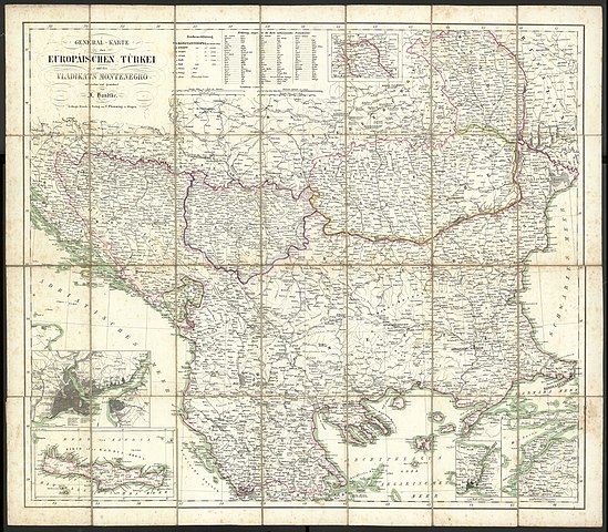
Deutsch: Generalkarte der Europäischen Türkei und des Vladikats Montenegro |
||||||||||||||||
| Date | 1850s | ||||||||||||||||
| Source | http://polona.pl/item/61274611/ | ||||||||||||||||
| Author |
|
||||||||||||||||
Licensing edit
|
This is a faithful photographic reproduction of a two-dimensional, public domain work of art. The work of art itself is in the public domain for the following reason:
The official position taken by the Wikimedia Foundation is that "faithful reproductions of two-dimensional public domain works of art are public domain".
This photographic reproduction is therefore also considered to be in the public domain in the United States. In other jurisdictions, re-use of this content may be restricted; see Reuse of PD-Art photographs for details. | ||||
File history
Click on a date/time to view the file as it appeared at that time.
| Date/Time | Thumbnail | Dimensions | User | Comment | |
|---|---|---|---|---|---|
| current | 15:00, 24 December 2019 | | 18,703 × 16,358 (55.07 MB) | Balkanique (talk | contribs) | User created page with UploadWizard |
You cannot overwrite this file.
File usage on Commons
The following page uses this file: