File:1874 Mitchell Map of Iowa and Missouri - Geographicus - IOMS-m-1874.jpg
Size of this preview: 498 × 599 pixels. Other resolutions: 199 × 240 pixels | 399 × 480 pixels | 638 × 768 pixels | 851 × 1,024 pixels | 2,493 × 3,000 pixels.
Original file (2,493 × 3,000 pixels, file size: 2.54 MB, MIME type: image/jpeg)
Captions
Captions
Add a one-line explanation of what this file represents
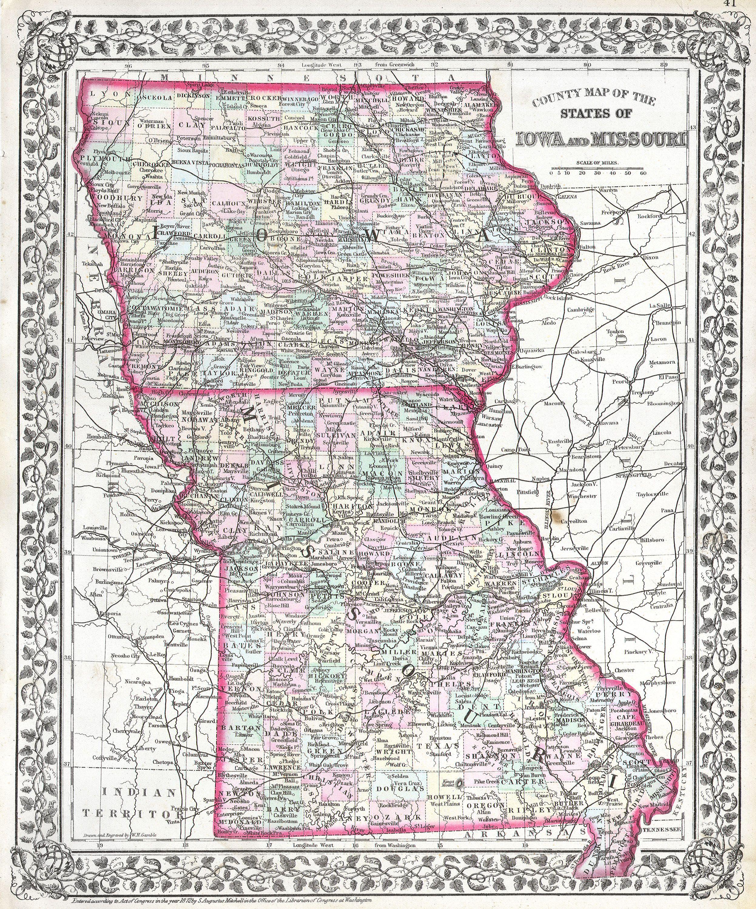
| Samuel Augustus Mitchell: Mitchell's Map of Iowa and Missouri.
( |
||||||||||||||||||||
|---|---|---|---|---|---|---|---|---|---|---|---|---|---|---|---|---|---|---|---|---|
| Artist |
|
|||||||||||||||||||
| Title |
Mitchell's Map of Iowa and Missouri. |
|||||||||||||||||||
| Description |
English: This hand colored antique map of Iowa and Missouri is a lithographic engraving dating to 1874 by the legendary American map publisher Samuel Augustus Mitchell Jr. Cities and towns are shown in considerable detail. |
|||||||||||||||||||
| Date | 1874 | |||||||||||||||||||
| Dimensions | height: 14 in (35.5 cm); width: 11 in (27.9 cm) | |||||||||||||||||||
| Accession number |
Geographicus link: IOMS-m-1874 |
|||||||||||||||||||
| Source/Photographer |
|
|||||||||||||||||||
| Permission (Reusing this file) |
|
|||||||||||||||||||
File history
Click on a date/time to view the file as it appeared at that time.
| Date/Time | Thumbnail | Dimensions | User | Comment | |
|---|---|---|---|---|---|
| current | 11:14, 16 March 2011 | | 2,493 × 3,000 (2.54 MB) | BotMultichill (talk | contribs) | {{subst:User:Multichill/Geographicus |link=http://www.geographicus.com/P/AntiqueMap/IOMS-m-1874 |product_name=1874 Mitchell Map of Iowa and Missouri |map_title=Mitchell's Map of Iowa and Missouri. |description=This hand colored antique map of Iowa and Mis |
You cannot overwrite this file.
File usage on Commons
The following page uses this file: