File:1916 map by the British Admiralty War Staff - ARABIA - Districts and Towns.jpg

Size of this preview: 747 × 599 pixels. Other resolutions: 299 × 240 pixels | 598 × 480 pixels | 957 × 768 pixels | 1,277 × 1,024 pixels | 2,553 × 2,048 pixels | 11,060 × 8,873 pixels.
Original file (11,060 × 8,873 pixels, file size: 10.88 MB, MIME type: image/jpeg)
Captions
Captions
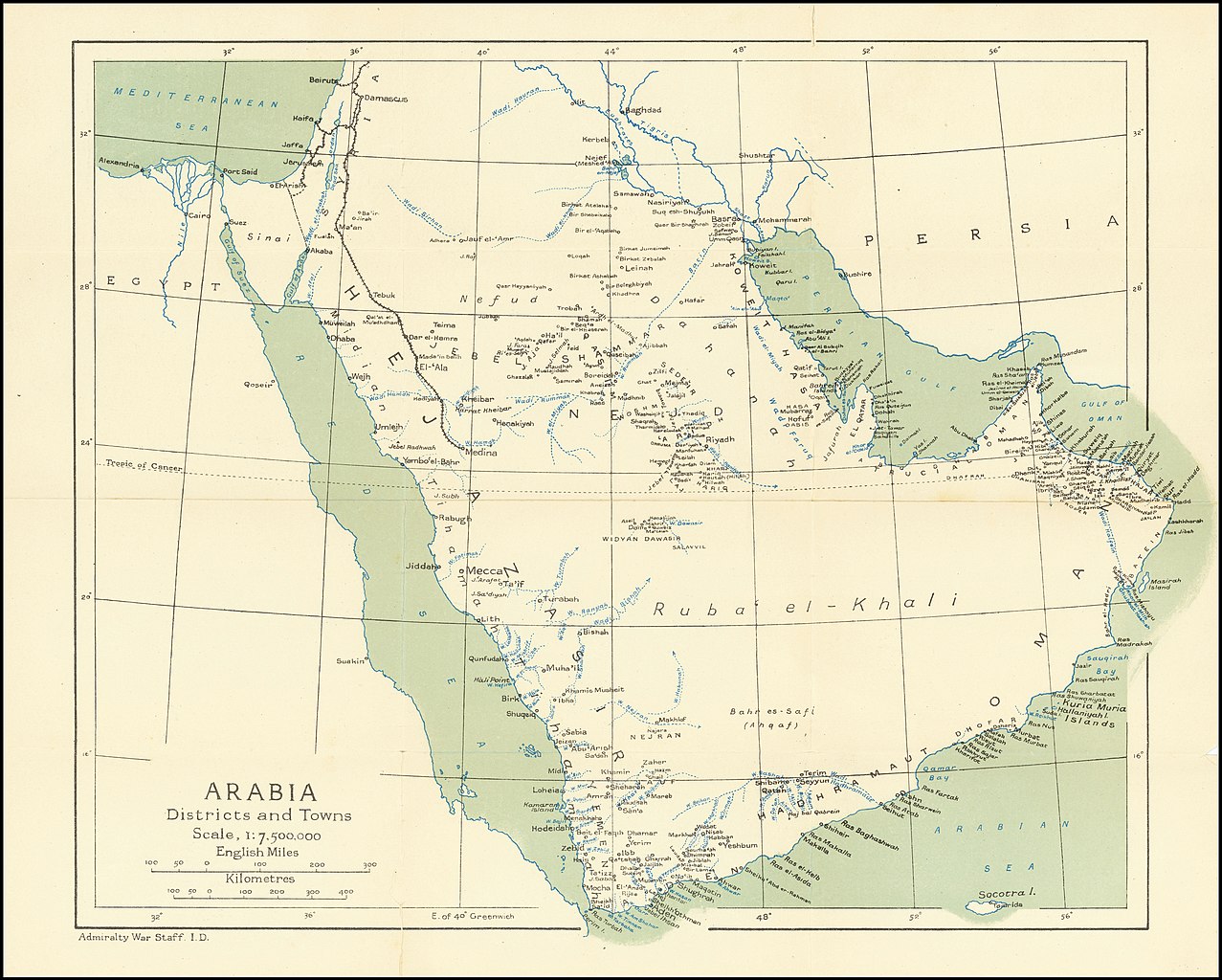
1916 map by the British Admiralty War Staff - ARABIA - Districts and Towns
Summary
edit
| Warning | The original file is very high-resolution. It might not load properly or could cause your browser to freeze when opened at full size. |
|---|
| Description |
English: 1916 map by the British Admiralty War Staff - ARABIA - Districts and Towns |
| Date | |
| Source | https://www.raremaps.com/gallery/detail/61830/tribal-map-of-arabia-with-arabia-districts-and-towns-with-admiralty-war-staff-intelligence-division |
| Author | Admiralty War Staff Intelligence Division |
Licensing
edit
This work created by the United Kingdom Government is in the public domain.
This is because it is one of the following:
HMSO has declared that the expiry of Crown Copyrights applies worldwide (ref: HMSO Email Reply)
|
 |
File history
Click on a date/time to view the file as it appeared at that time.
| Date/Time | Thumbnail | Dimensions | User | Comment | |
|---|---|---|---|---|---|
| current | 19:27, 1 July 2020 | | 11,060 × 8,873 (10.88 MB) | Balkanique (talk | contribs) | Uploaded a work by Admiralty War Staff Intelligence Division from https://www.raremaps.com/gallery/detail/61830/tribal-map-of-arabia-with-arabia-districts-and-towns-with-admiralty-war-staff-intelligence-division with UploadWizard |
You cannot overwrite this file.
File usage on Commons
The following page uses this file: