File:1918-1949 Bradford South.png
No higher resolution available.
1918-1949_Bradford_South.png (370 × 330 pixels, file size: 6 KB, MIME type: image/png)
Captions
Captions
Add a one-line explanation of what this file represents
Summary
edit
| Description |
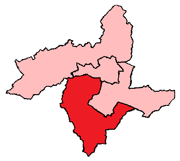
English: 1918-1949 Bradford South
|
| Date | Unknown date |
| Source | http://uselectionatlas.org/FORUM/index.php?action=profile;u=9106;sa=showPosts;start=50 |
| Author | Unknown author |
Licensing
edit
| This work is ineligible for copyright and therefore in the public domain because it consists entirely of information that is common property and contains no original authorship. |
Original upload log
edit
The original description page was here. All following user names refer to en.wikipedia.
| Date/Time | Dimensions | User | Comment |
|---|---|---|---|
| 2017-02-08 07:33 | 370×330× (6098 bytes) | Graemp | Uploading a public-domain item using [[Wikipedia:File_Upload_Wizard|File Upload Wizard]] |
File history
Click on a date/time to view the file as it appeared at that time.
| Date/Time | Thumbnail | Dimensions | User | Comment | |
|---|---|---|---|---|---|
| current | 13:11, 3 October 2018 | | 370 × 330 (6 KB) | Junior Jumper (talk | contribs) | == {{int:filedesc}} == {{Information |Description={{en|1918-1949 Bradford South<br/> ;Other information: this is a simplified version of a map originally created by the UK Boundary Commission.}} |Source={{transferred from|en.wikipedia}}<br/> (Original text : ''http://uselectionatlas.org/FORUM/index.php?action=profile;u=9106;sa=showPosts;start=50'') |Date=unknown<br/> ({{Original upload date|2017-02-08}}) |Author=unknown. {{Original uploader|Graemp|wikipedia|en}} |Permission=This image is in t... |
You cannot overwrite this file.
File usage on Commons
The following page uses this file:
File usage on other wikis
The following other wikis use this file:
- Usage on en.wikipedia.org
- Usage on ko.wikipedia.org