File:1937-Atlantic and Indian oceans.jpg

Size of this preview: 765 × 600 pixels. Other resolutions: 306 × 240 pixels | 612 × 480 pixels | 980 × 768 pixels | 1,280 × 1,003 pixels | 2,560 × 2,007 pixels | 4,208 × 3,299 pixels.
Original file (4,208 × 3,299 pixels, file size: 5.57 MB, MIME type: image/jpeg)
Captions
Captions
Add a one-line explanation of what this file represents
Summary
edit
| Description |
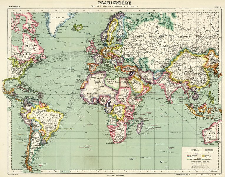
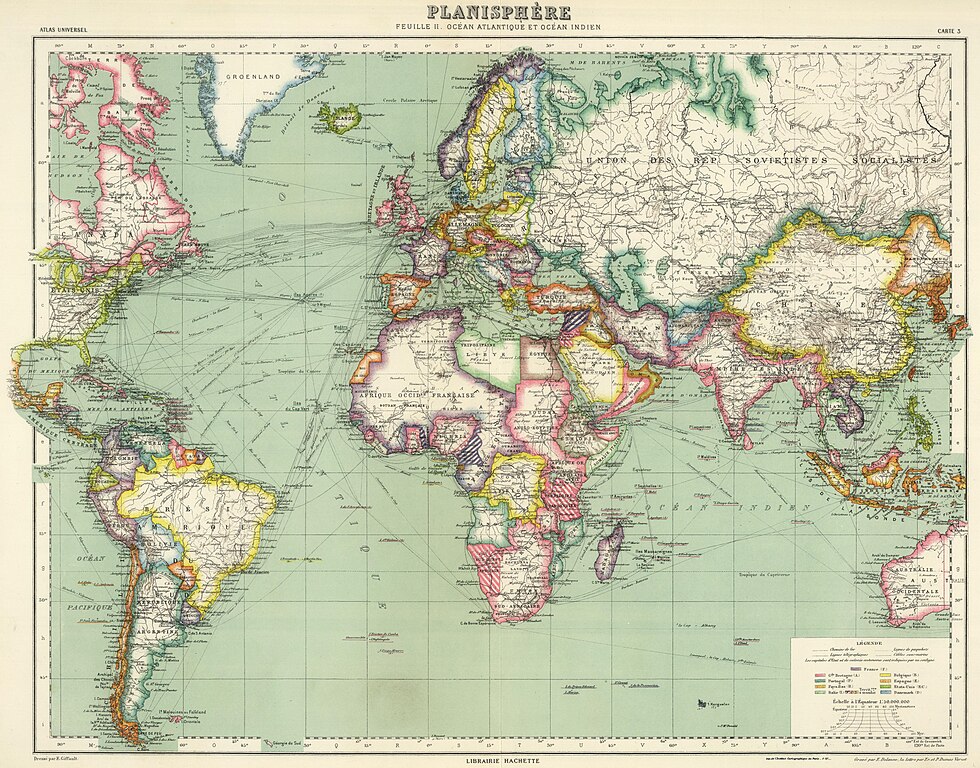
Español: Mapa político "centrado" en los océanos Atlántico e Índico.
Editorial: Hachette (París) De Atlas Universel de Geographie English: Political map "centered" in the Atlantic and Indian oceans. Publisher: Hachette (Paris) From Atlas Universel de Geographie |
| Date | |
| Source | David Rumsey Map Collection, list no 4730.003 |
| Author | Vivien de Saint-Martin |
Licensing
edit
This file is licensed under the Creative Commons Attribution-Share Alike 3.0 Unported license.
- You are free:
- to share – to copy, distribute and transmit the work
- to remix – to adapt the work
- Under the following conditions:
- attribution – You must give appropriate credit, provide a link to the license, and indicate if changes were made. You may do so in any reasonable manner, but not in any way that suggests the licensor endorses you or your use.
- share alike – If you remix, transform, or build upon the material, you must distribute your contributions under the same or compatible license as the original.
File history
Click on a date/time to view the file as it appeared at that time.
| Date/Time | Thumbnail | Dimensions | User | Comment | |
|---|---|---|---|---|---|
| current | 18:51, 18 January 2023 | | 4,208 × 3,299 (5.57 MB) | Universalis (talk | contribs) | Uploaded a work by Vivien de Saint-Martin from David Rumsey Map Collection with UploadWizard |
You cannot overwrite this file.
File usage on Commons
There are no pages that use this file.