File:1950 map of Persia and Afghanistan.tif

Size of this JPG preview of this TIF file: 800 × 565 pixels. Other resolutions: 320 × 226 pixels | 640 × 452 pixels | 1,024 × 724 pixels | 1,280 × 905 pixels | 2,560 × 1,809 pixels | 20,810 × 14,707 pixels.
Original file (20,810 × 14,707 pixels, file size: 875.65 MB, MIME type: image/tiff)
Captions
Captions
Persia and Afghanistan / War Office
Summary edit
| Warning | The original file is very high-resolution. It might not load properly or could cause your browser to freeze when opened at full size. |
|---|
| Description |
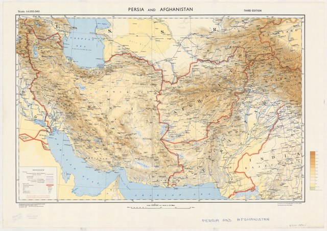
English: 1950 map of Persia and Afghanistan |
| Date | |
| Source | https://nla.gov.au/nla.obj-268204425/view |
| Author | Great Britain. War Office. General Staff. Geographical Section |
Licensing edit
This work created by the United Kingdom Government is in the public domain.
This is because it is one of the following:
HMSO has declared that the expiry of Crown Copyrights applies worldwide (ref: HMSO Email Reply)
|
 |
File history
Click on a date/time to view the file as it appeared at that time.
| Date/Time | Thumbnail | Dimensions | User | Comment | |
|---|---|---|---|---|---|
| current | 09:24, 5 May 2020 |  | 20,810 × 14,707 (875.65 MB) | Balkanique (talk | contribs) | Uploaded a work by Great Britain. War Office. General Staff. Geographical Section from https://nla.gov.au/nla.obj-268204425/view with UploadWizard |
You cannot overwrite this file.
File usage on Commons
There are no pages that use this file.